
The Forest That Wasn't on the Map
The Question
Peru's Amazon basin is one of the most biodiverse places on Earth. The government knew this in broad terms, but their maps showed forest as a single category — green meant trees, and that was about it. The question was whether our technology could reveal what was actually in those forests. Which areas held the highest biodiversity? Which had the most carbon? Where should protection efforts focus?
What We Found
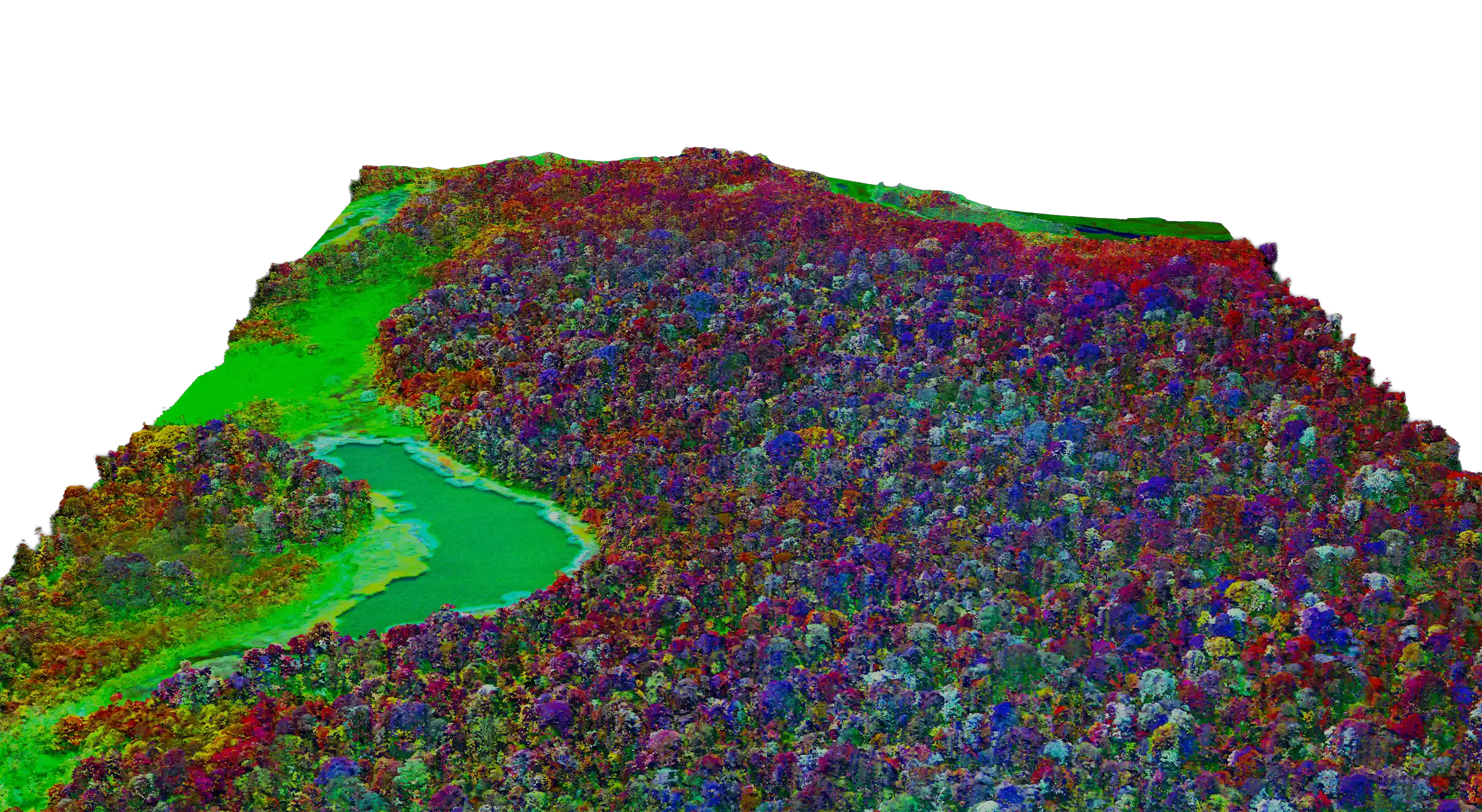
Flying over the eastern slopes of the Andes, where mountains descend into the Amazon basin, we found something unexpected. An entire forest type that didn't appear on any Peruvian map. The spectral signatures and 3D structure were distinct from surrounding areas. It wasn't degraded forest or a known ecosystem variant. It was something different. We handed the data to the Peruvian Ministry of Environment. Their scientists confirmed what our instruments had detected: a unique forest ecosystem, previously undocumented, with species assemblages found nowhere else in the country.
The Outcome
Peru created Yaguas National Park to protect the area. A forest that didn't exist on any official map now has legal protection because our technology revealed it was there. This is what the GAO is for. Science and technology revealing something humanity didn't know, and humanity taking the opportunity to do something about it.