The 20th Anniversary Campaign
PACIFIC 2026
Pacific Mission
Updates From the Field
Follow the Pacific campaign as it unfolds — aerial mapping, dive surveys, and ground operations across the Western Pacific.
PHASE 1
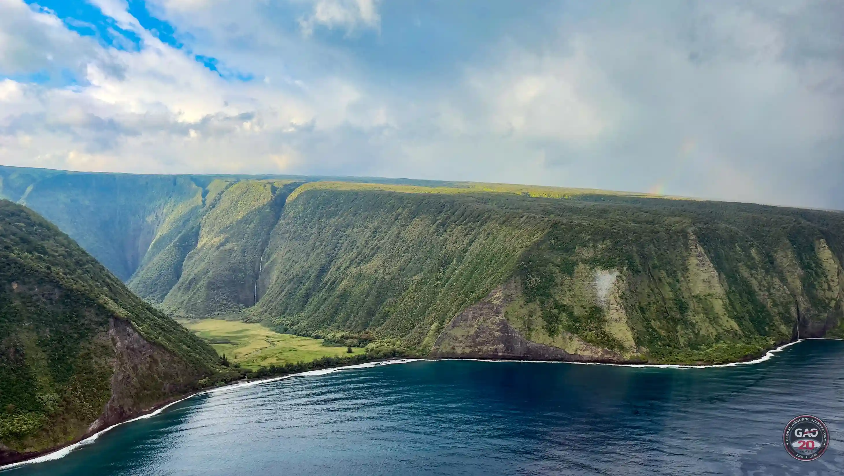
Securing the Hawaiian Launchpad
The Pacific campaign launches from Hawaiʻi — coral surveys, water quality runs, and a first-ever satellite ground-truth with Planet Labs.
View Mission Update→
PHASE 1
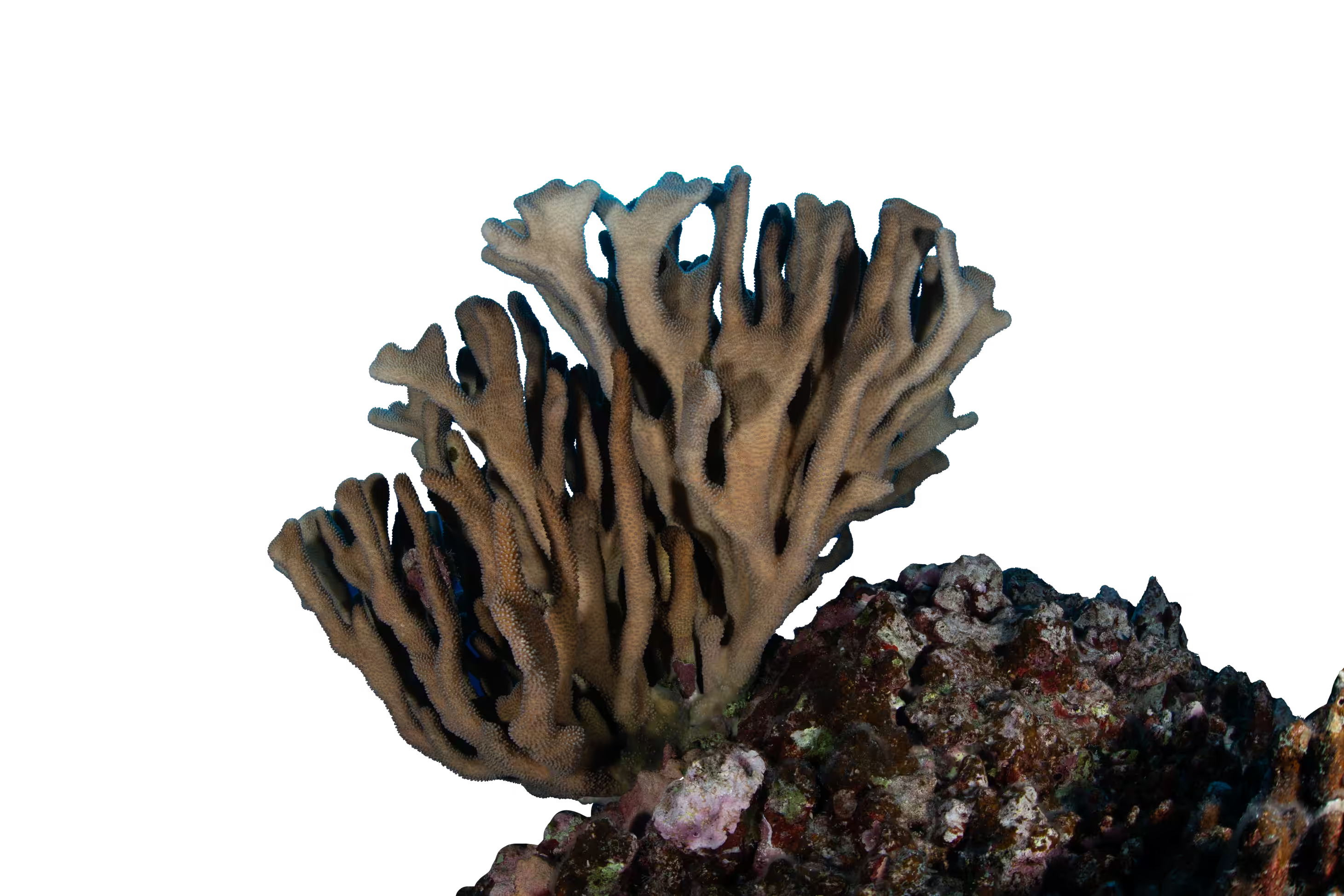
The ʻĀkoʻakoʻa Coastline Survey
A 120-mile contiguous reef survey along West Hawaiʻi — from ʻUpolu Point to South Point — mapping one of the longest unbroken coral corridors in the state.
View Mission Update→
PHASE 1
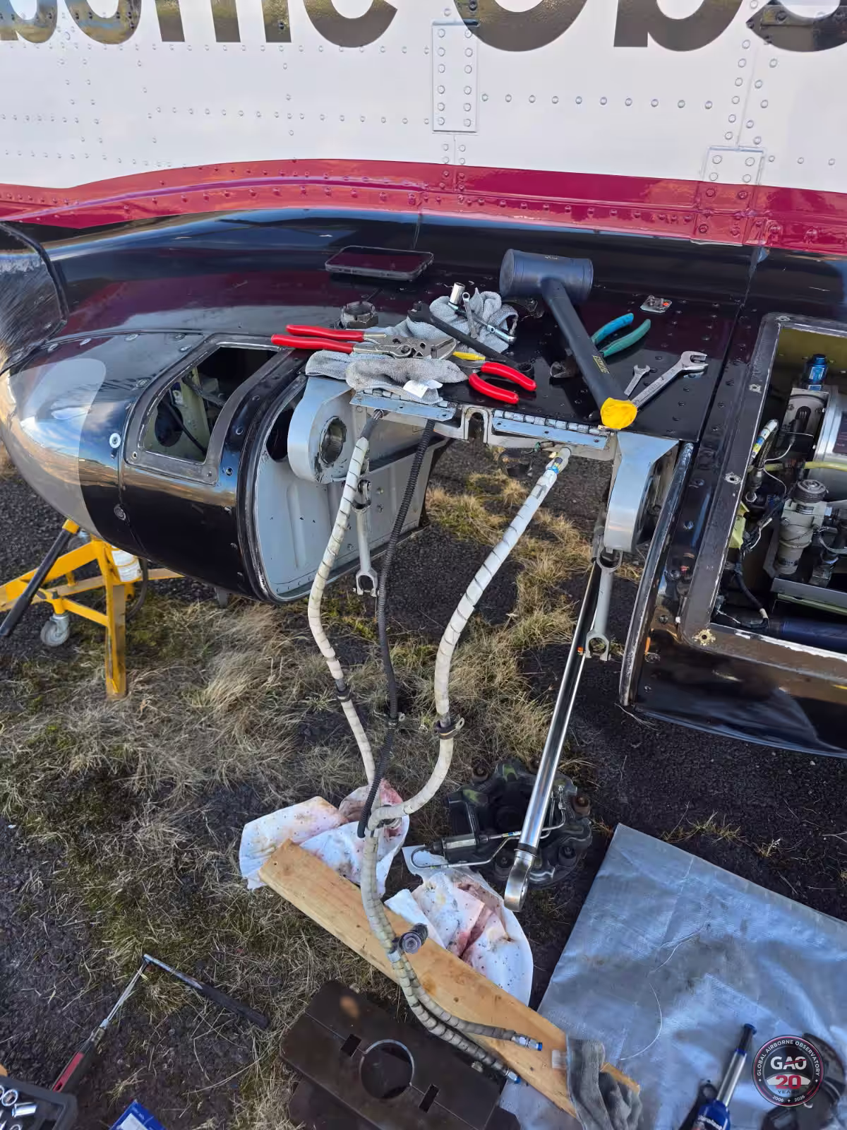
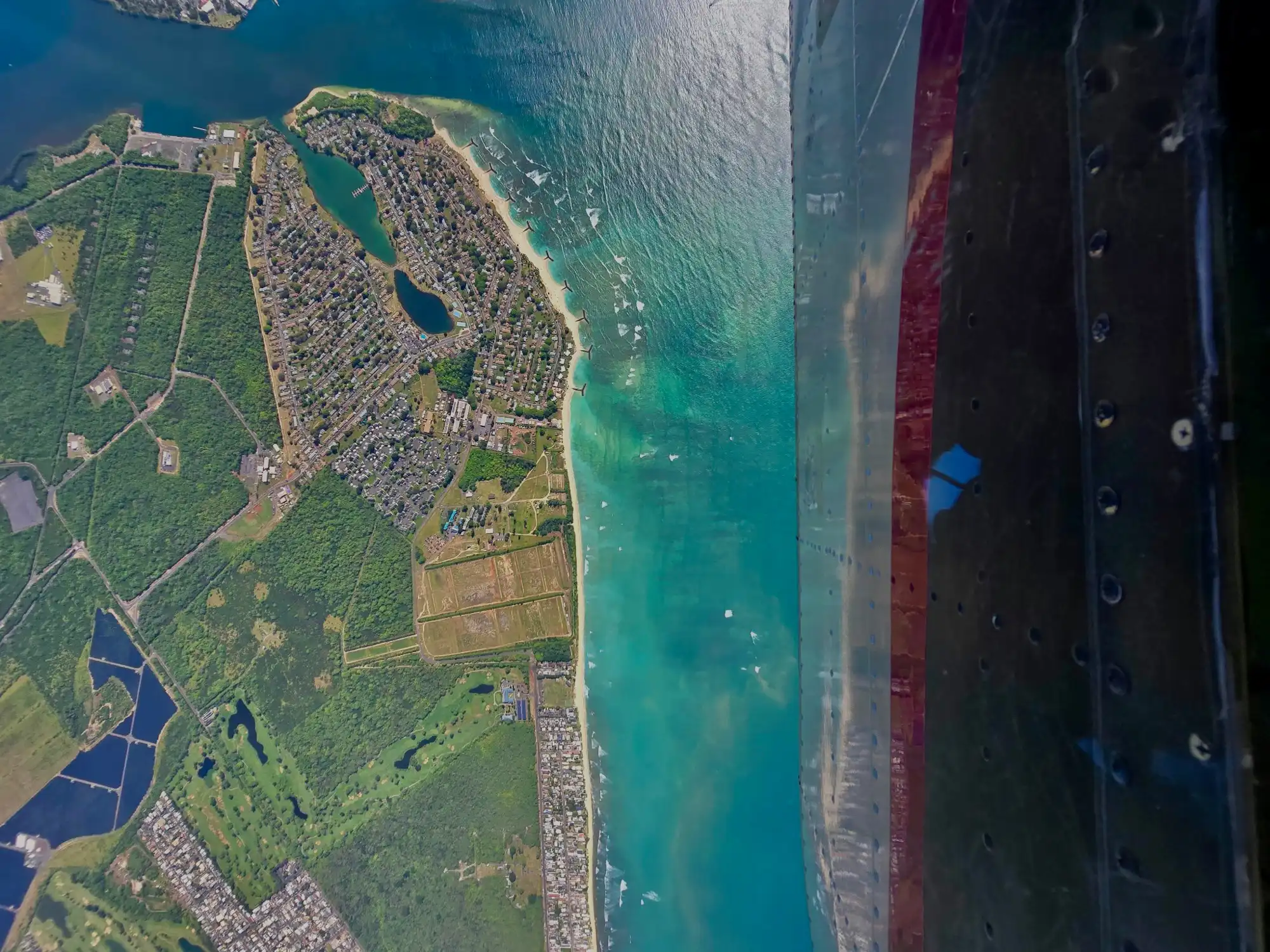
DLNR Kona Low Storm Response
Following severe storm systems earlier this year, GAO rapidly deployed across Oʻahu, Maui, and Kauaʻi to map reef impact for Hawaiʻi's Department of Land and Natural Resources.
View Mission Update→
PHASE 2
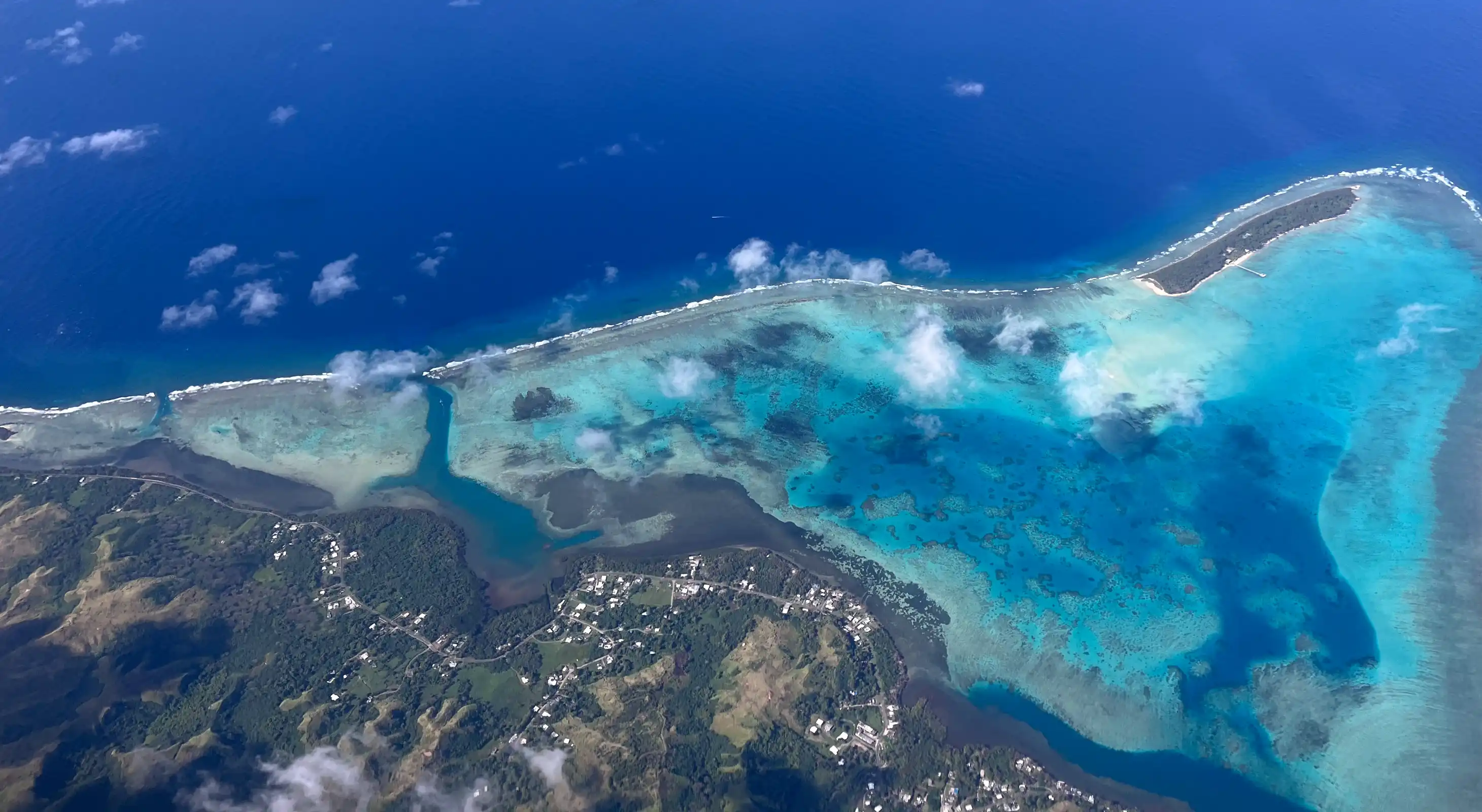
Guam & CNMI Mapping Complete
After months based out of Guam, GAO has completed aerial mapping across the full CNMI island chain — and the team is heading underwater next.
View Mission Update→
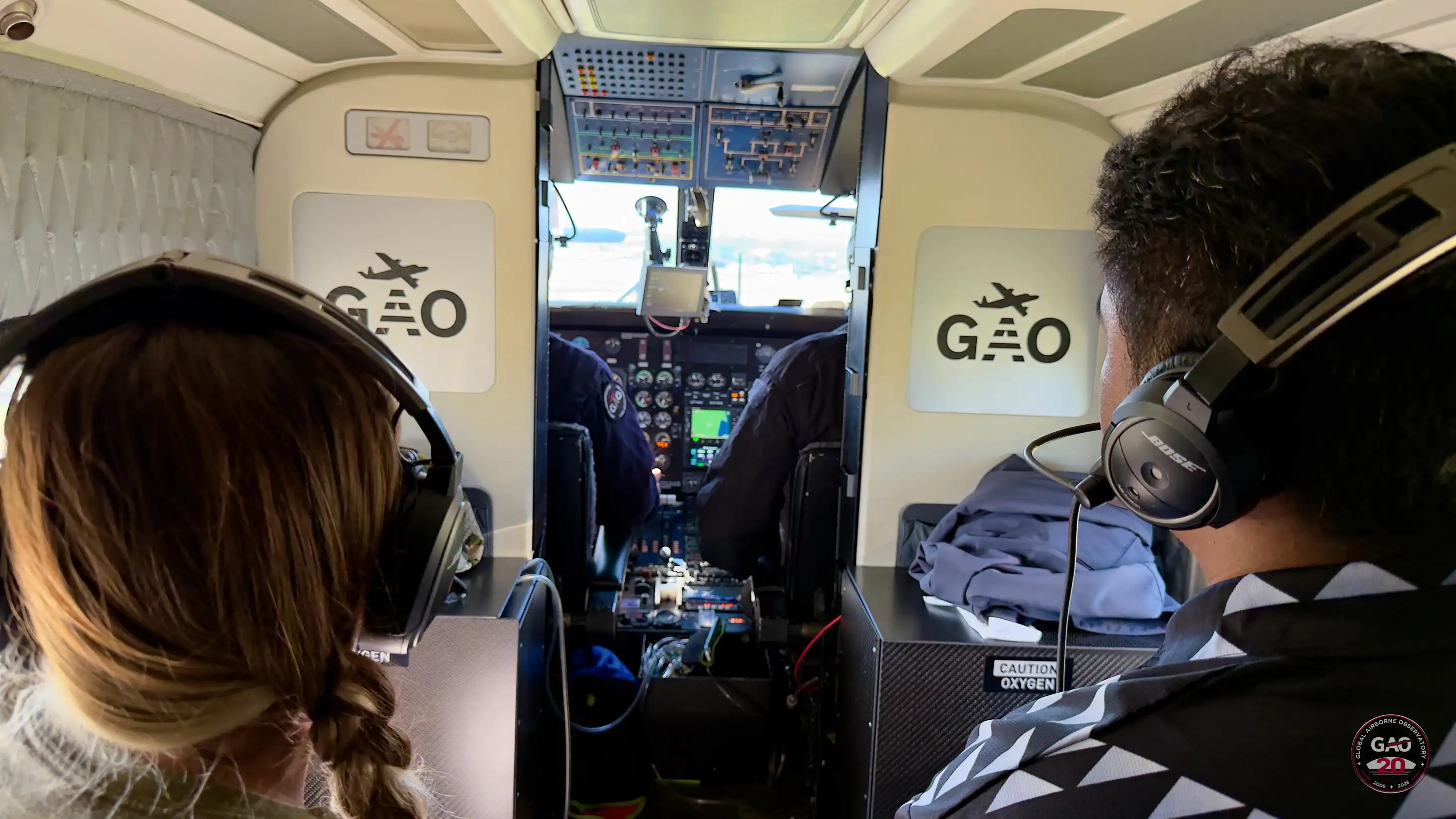
"We work the problems one at a time at max intensity."
— Sheldon, GAO Field Team