Spectranomics
Light makes molecules vibrate, bend, stretch, and rotate.
WE READ THE SIGNALS
We See the Chemistry of Life Itself
Structure Meets Chemistry
The Global Airborne Observatory fuses two technologies that, together, reveal what neither could alone.
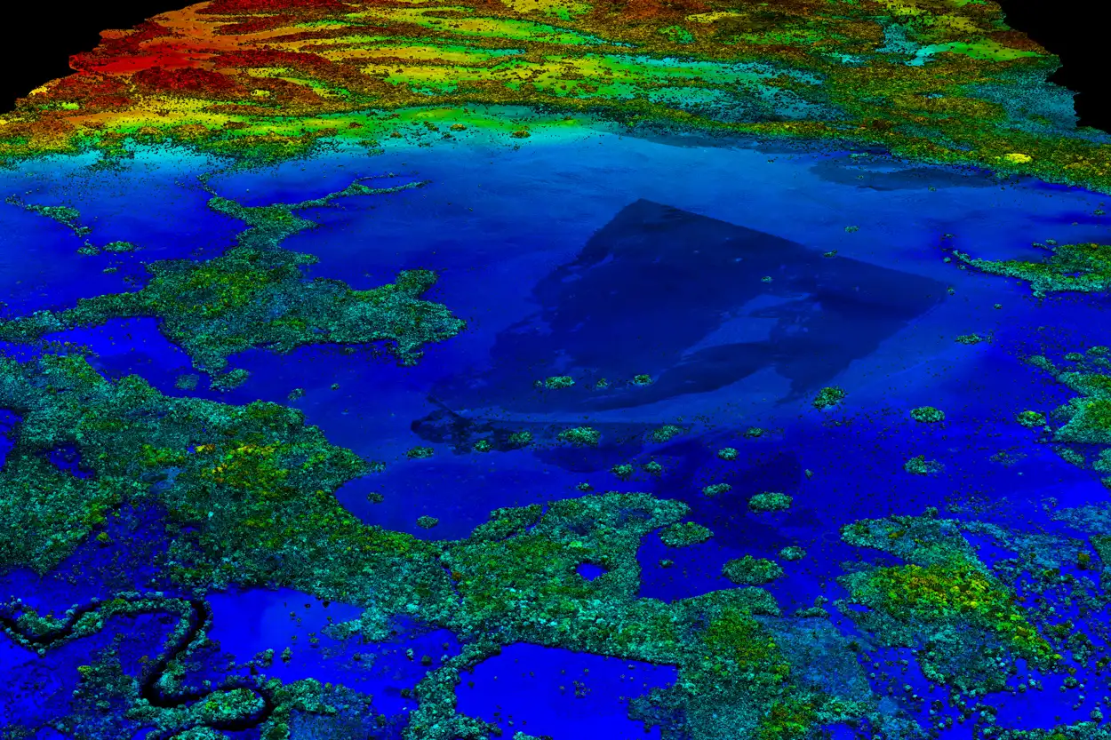
Mapping the Structure
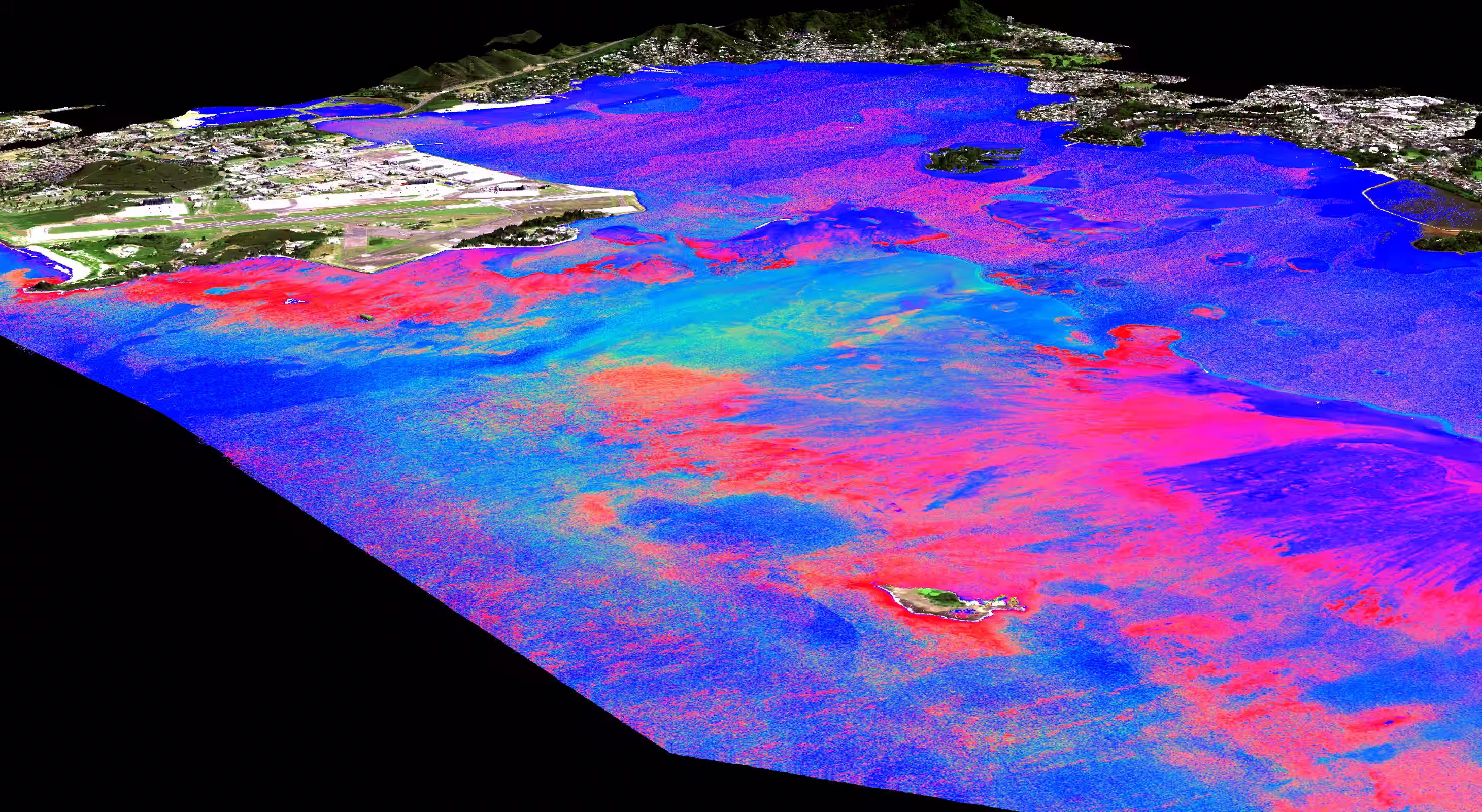
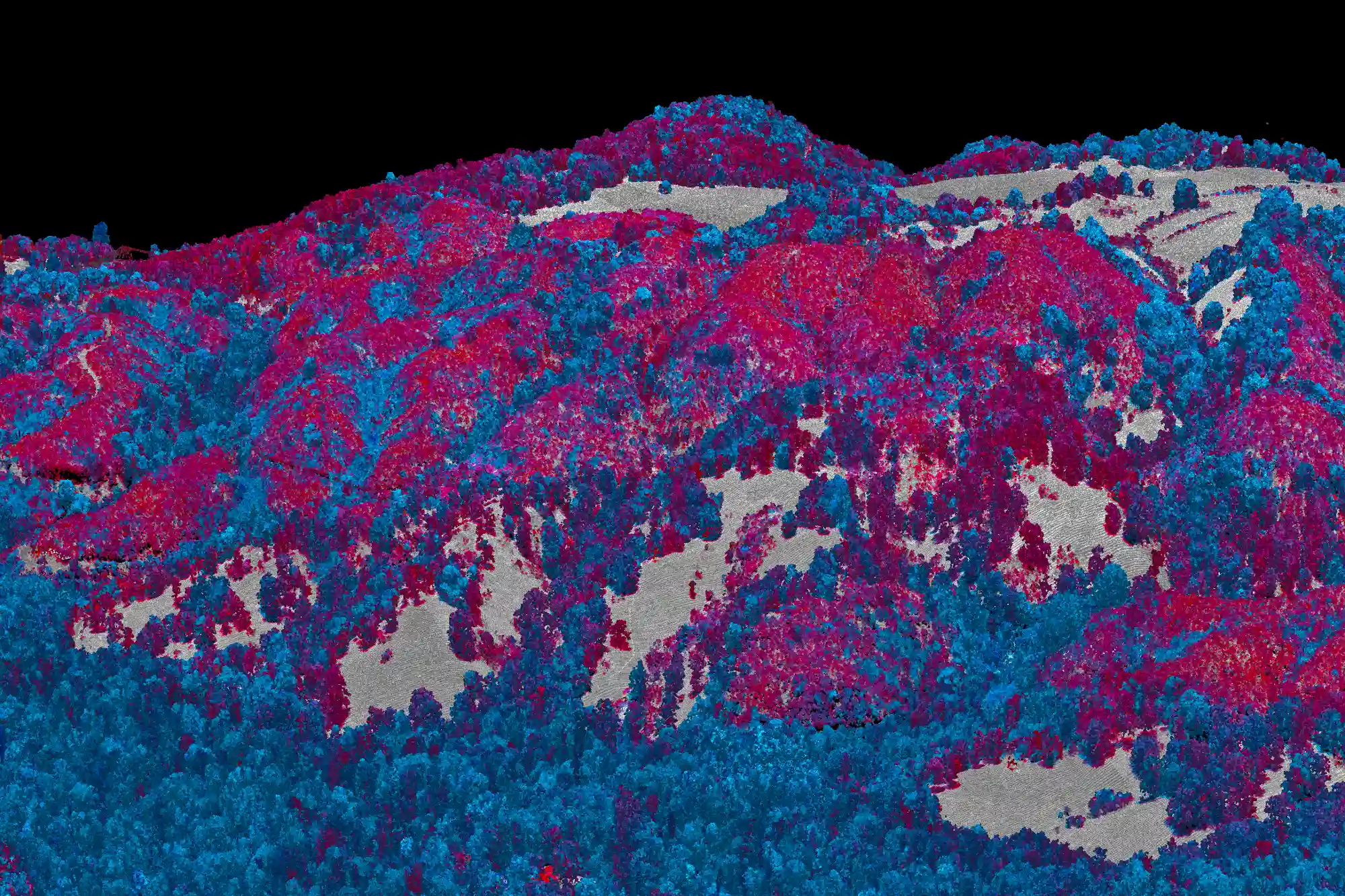
Lidar fires multiple laser beams from the aircraft millions of times per second, building a three-dimensional map of everything below. Every tree, every branch, every contour of terrain. Think of it as an MRI for ecosystems. LIDAR tells us where things are and how they're shaped, but lasers can't distinguish species. Two trees of the same height look similar.
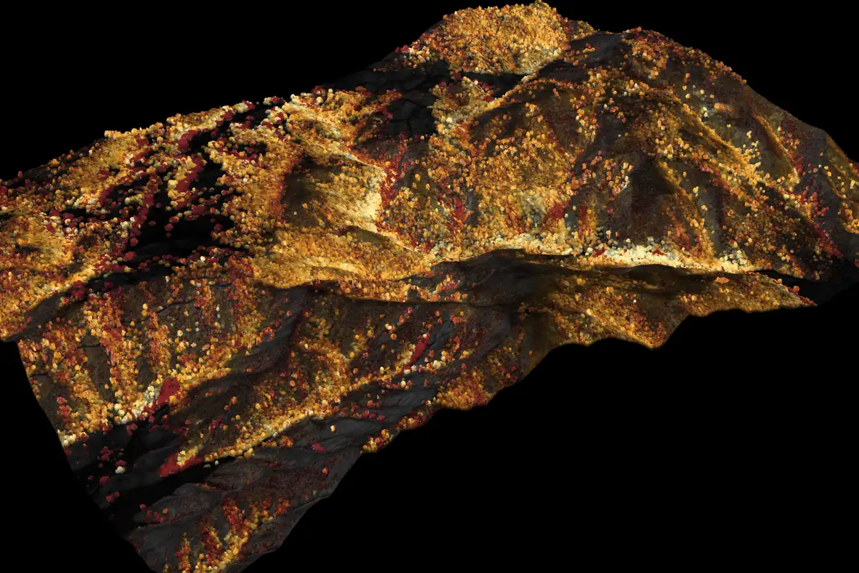
Decoding the Chemistry
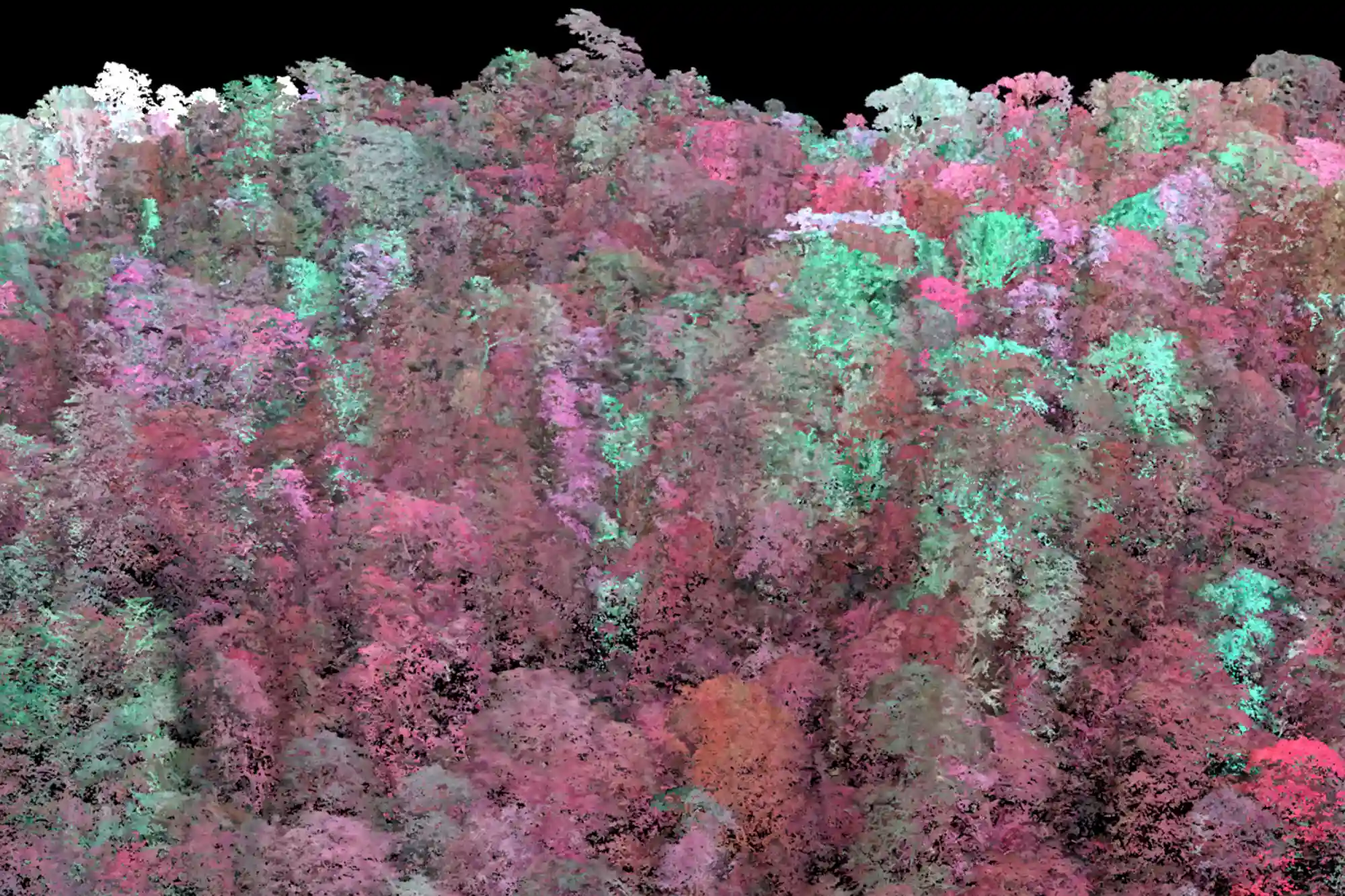
The imaging spectrometer does what lasers cannot. The gold sensor in the back of the aircraft reads the chemical composition of everything the sunlight touches. By measuring light across the full spectrum, we detect the molecular signatures that make each species unique. Two trees that look identical in structure reveal themselves as entirely different the moment we read their chemistry.
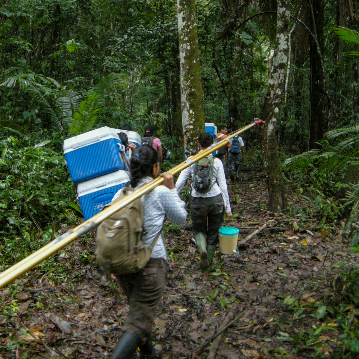
Chasing the Ground Truth
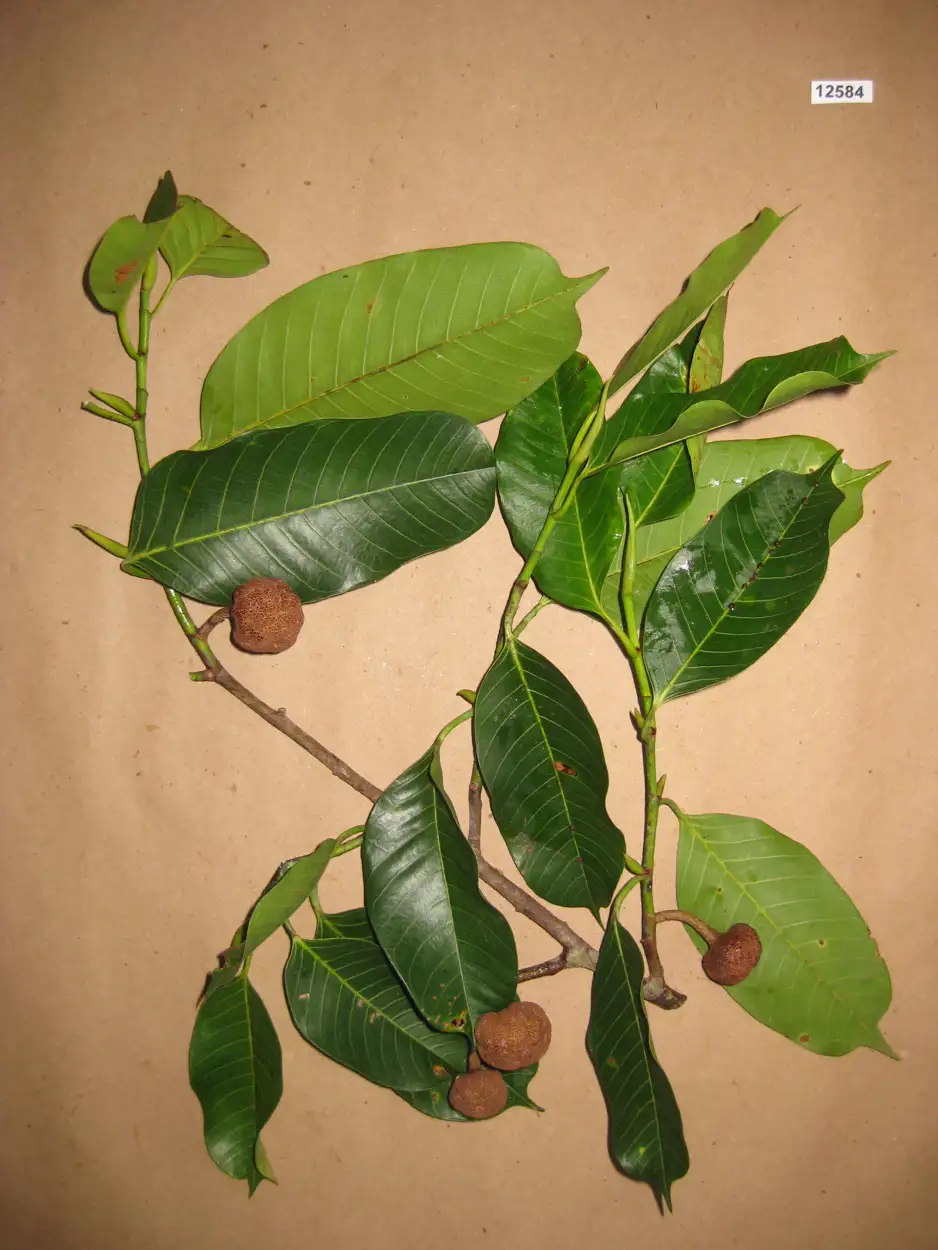
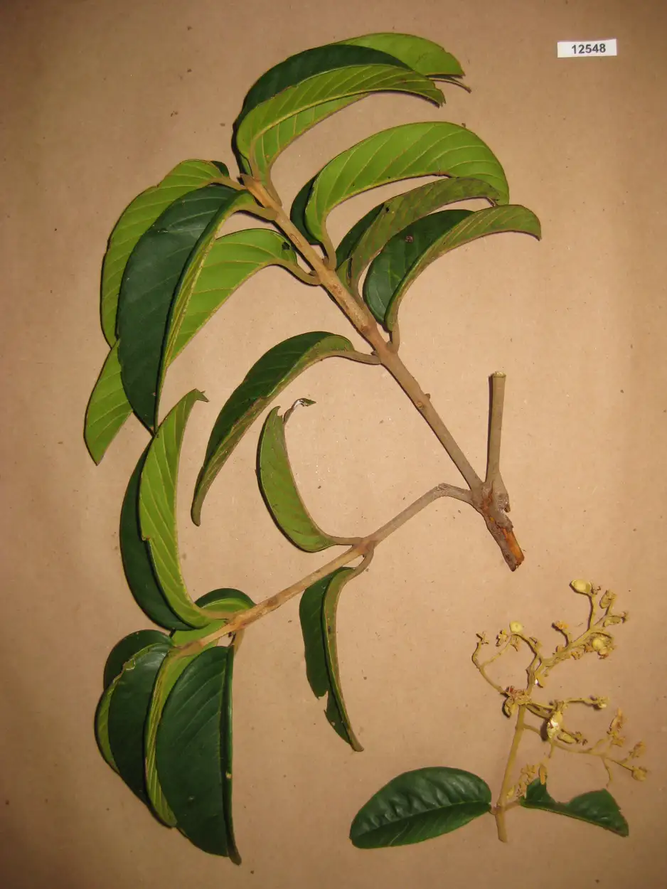
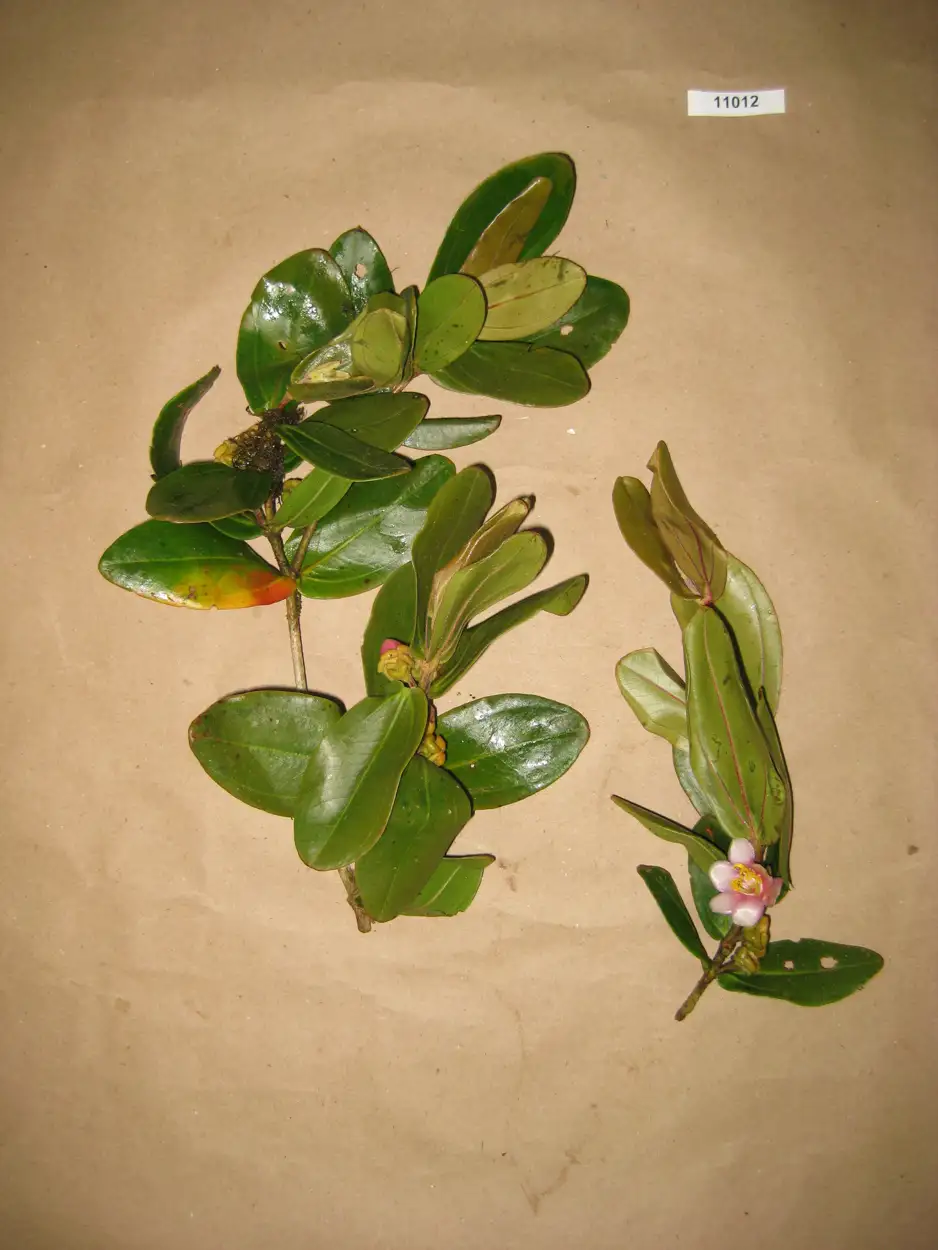
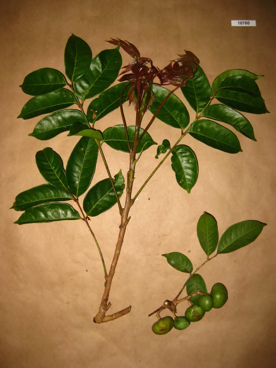
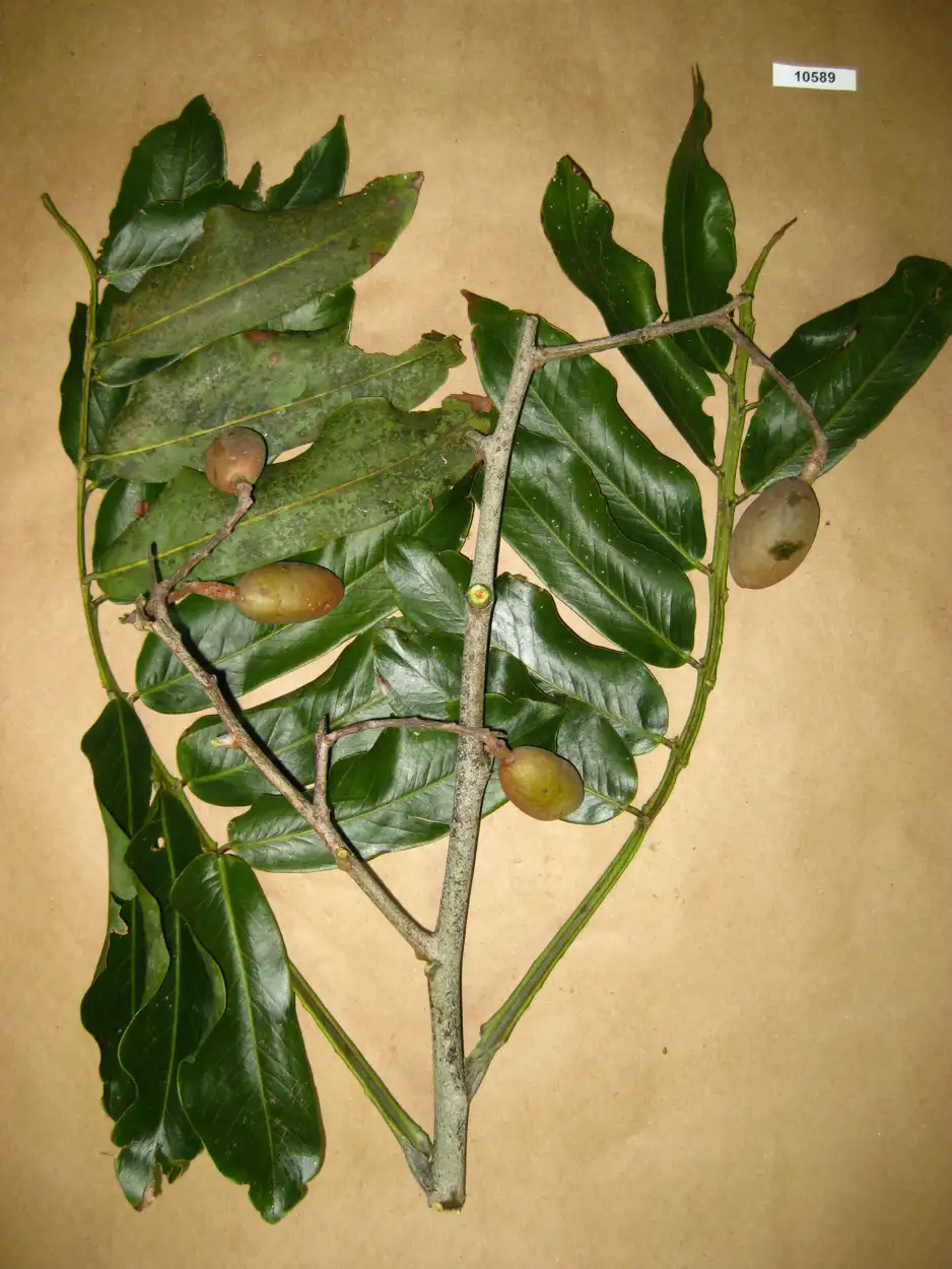
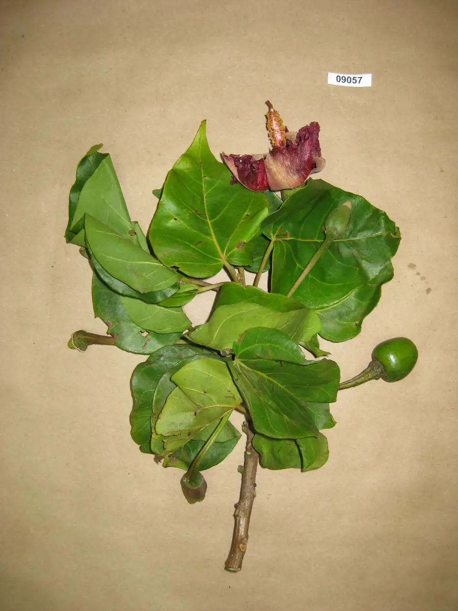
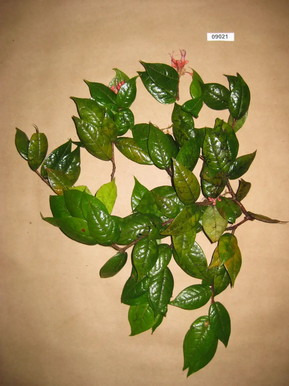
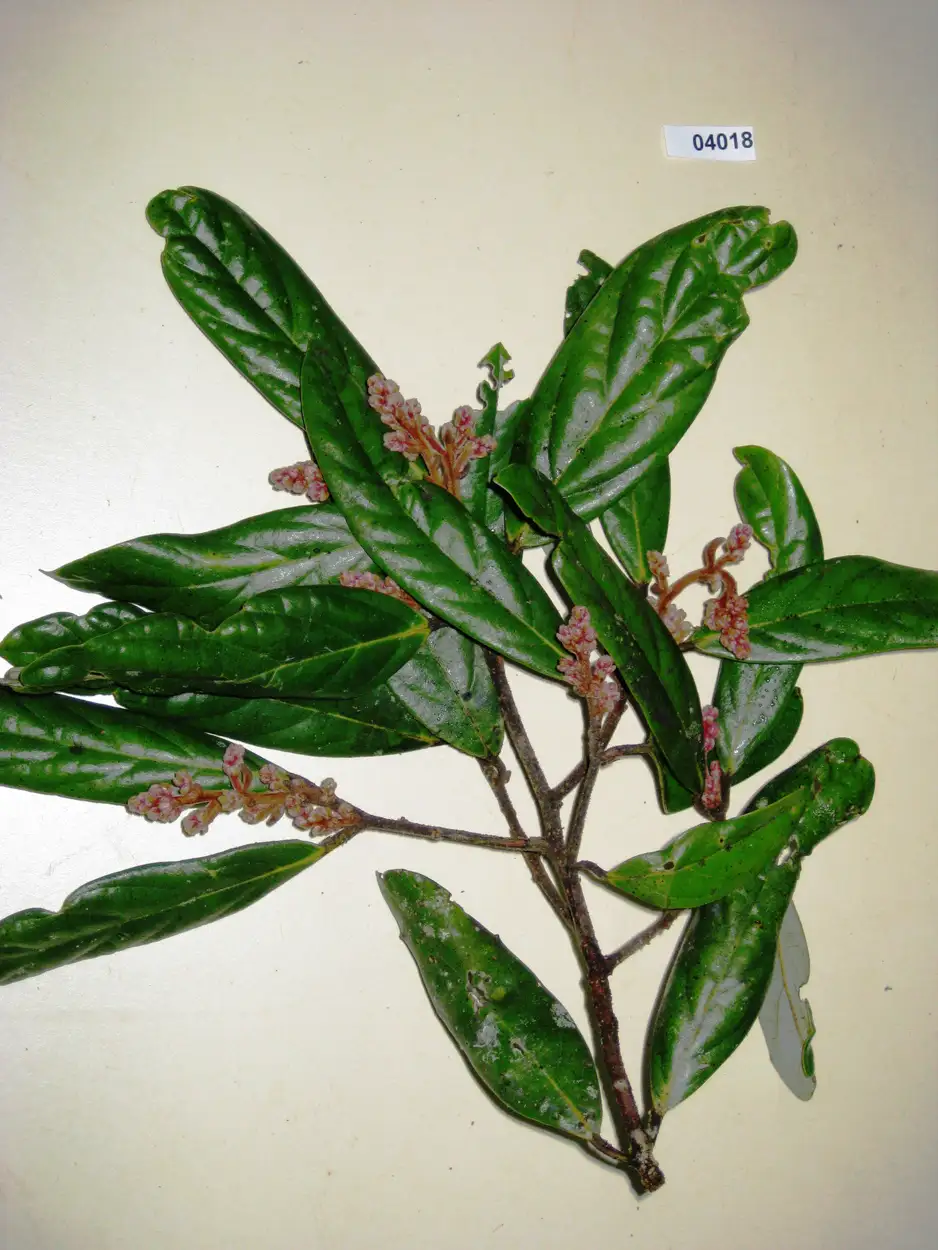
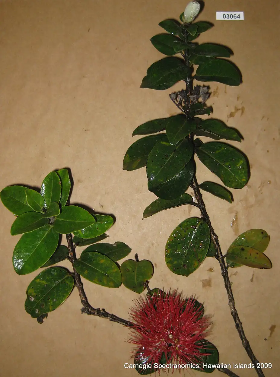
You cannot identify a species from 10,000 feet in the air if you don't know what its chemical signature looks like on the ground. To translate our aerial data into actual species maps, we had to build the dictionary ourselves.
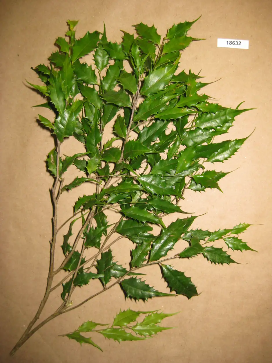
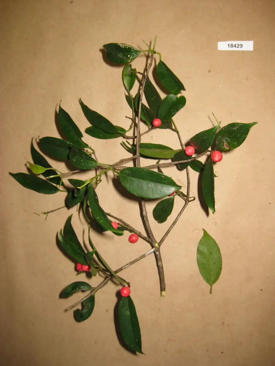
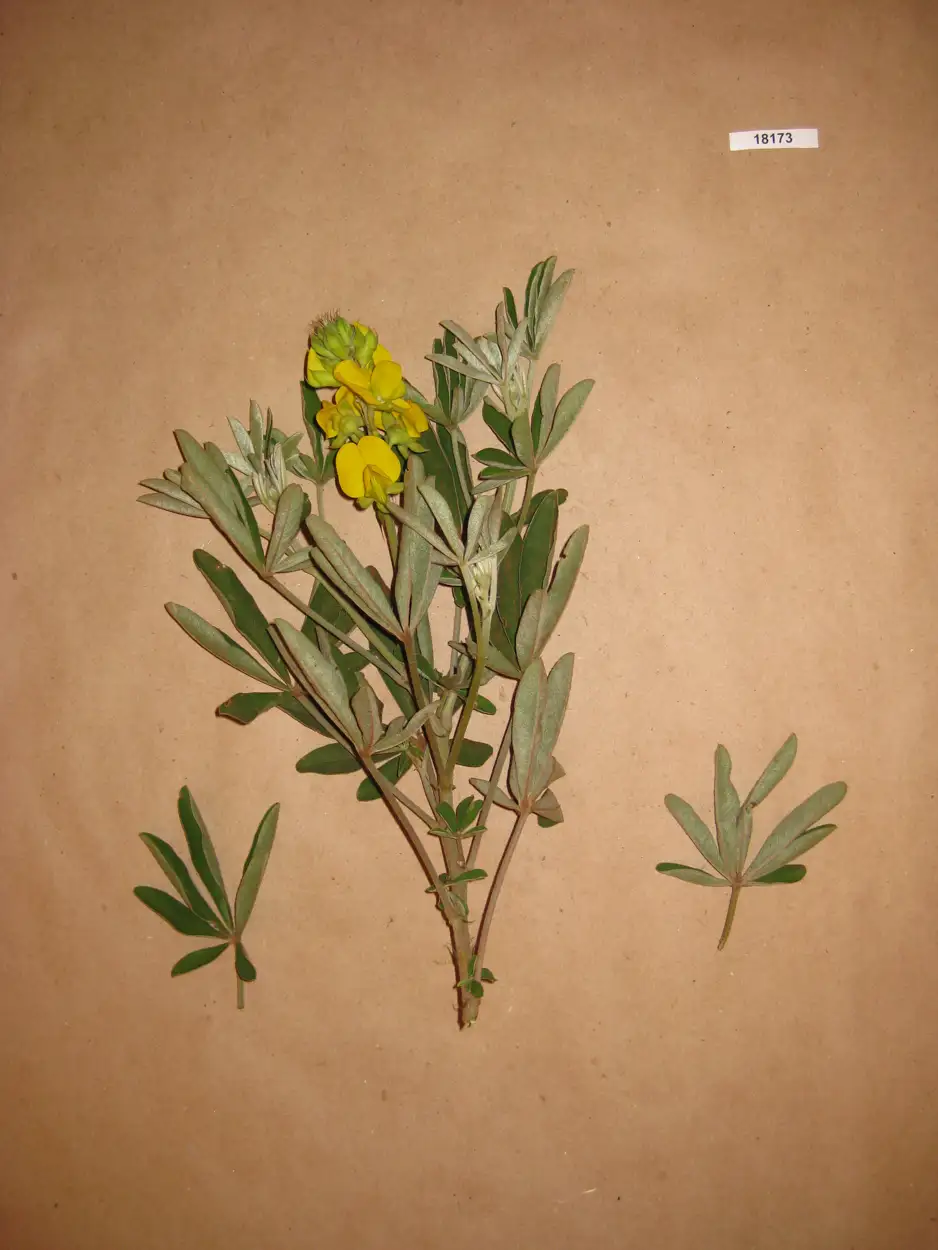
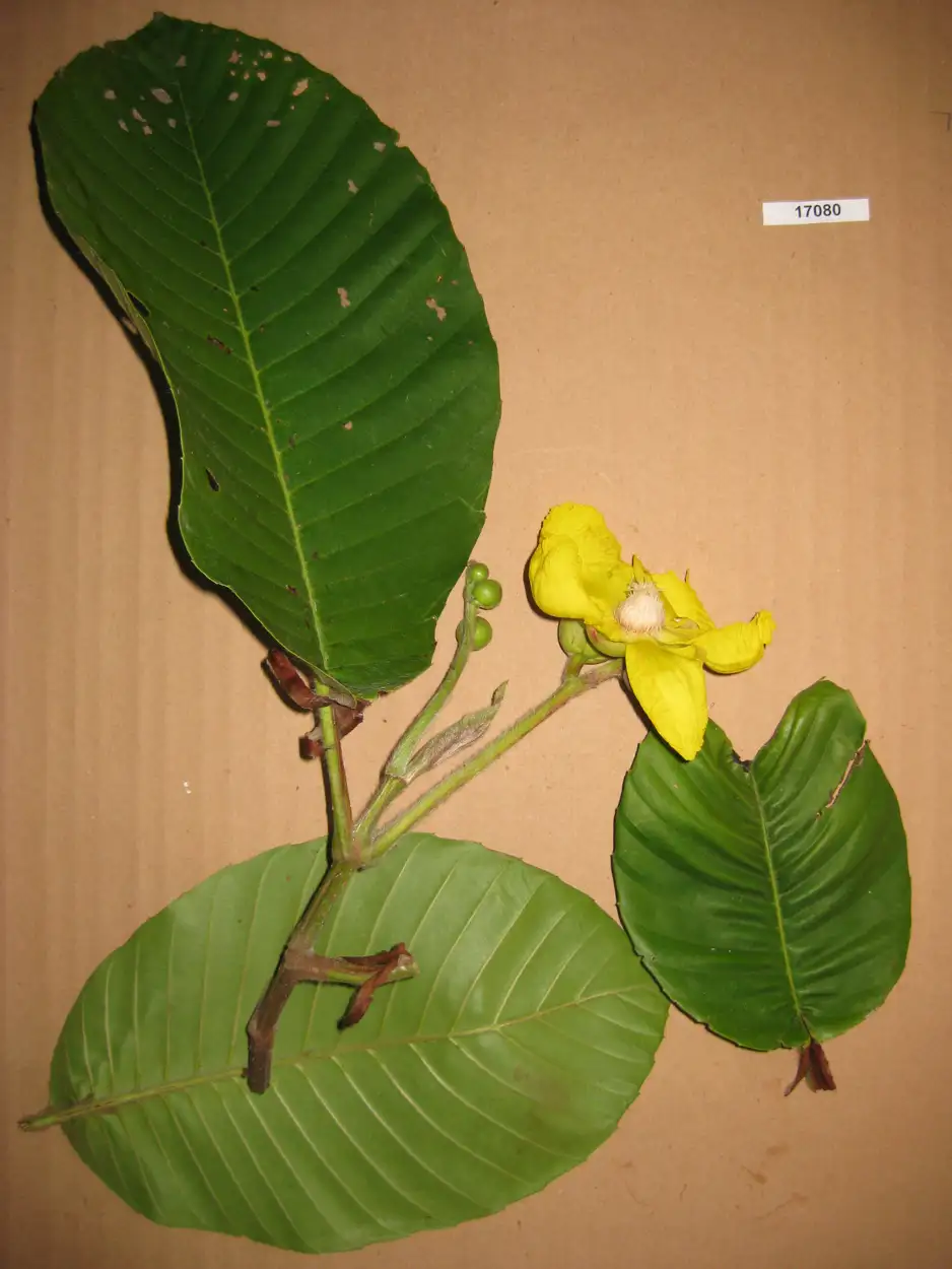
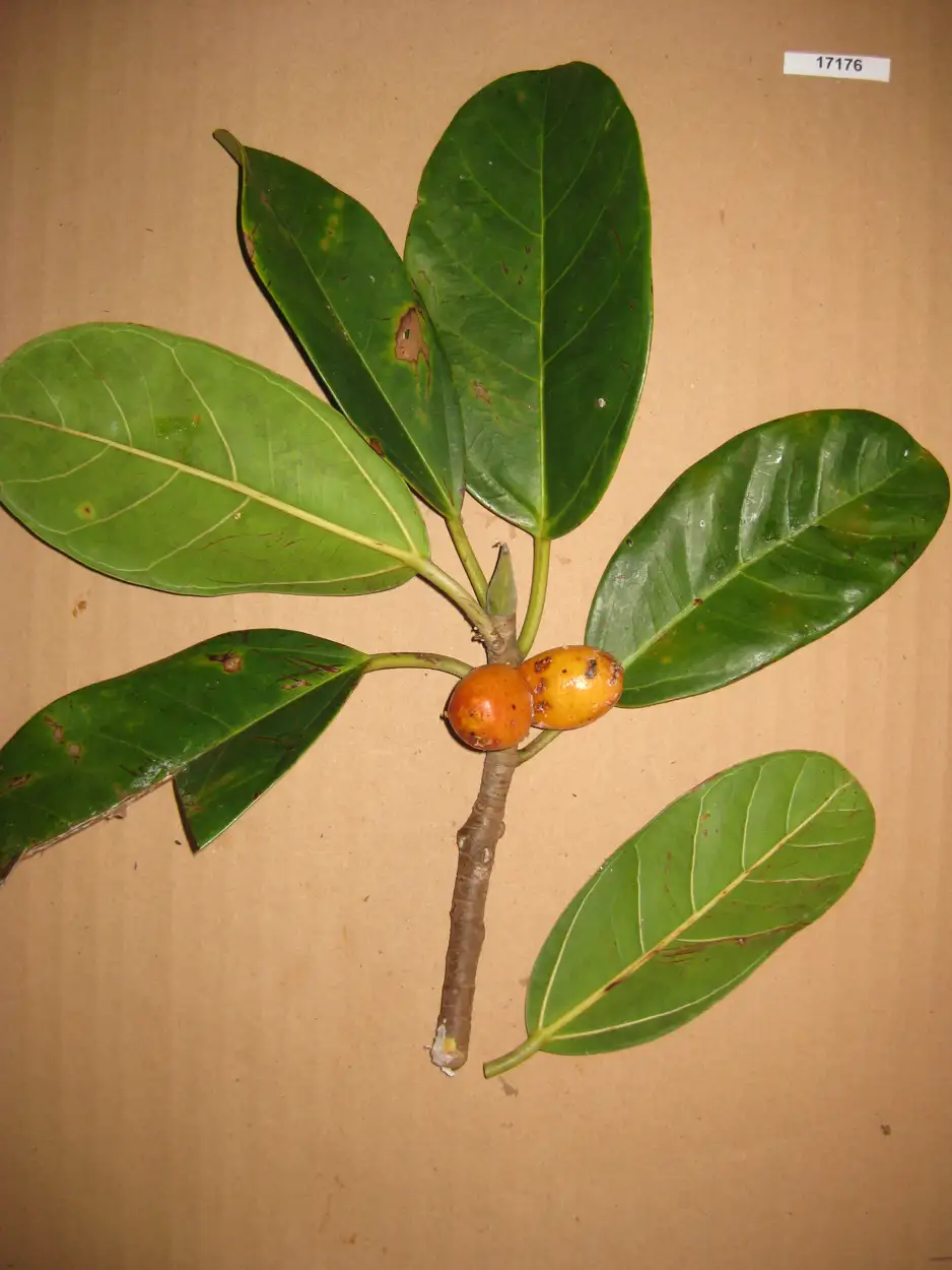
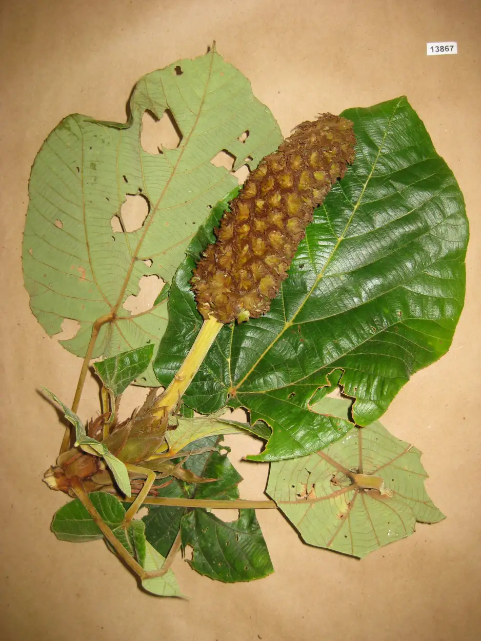
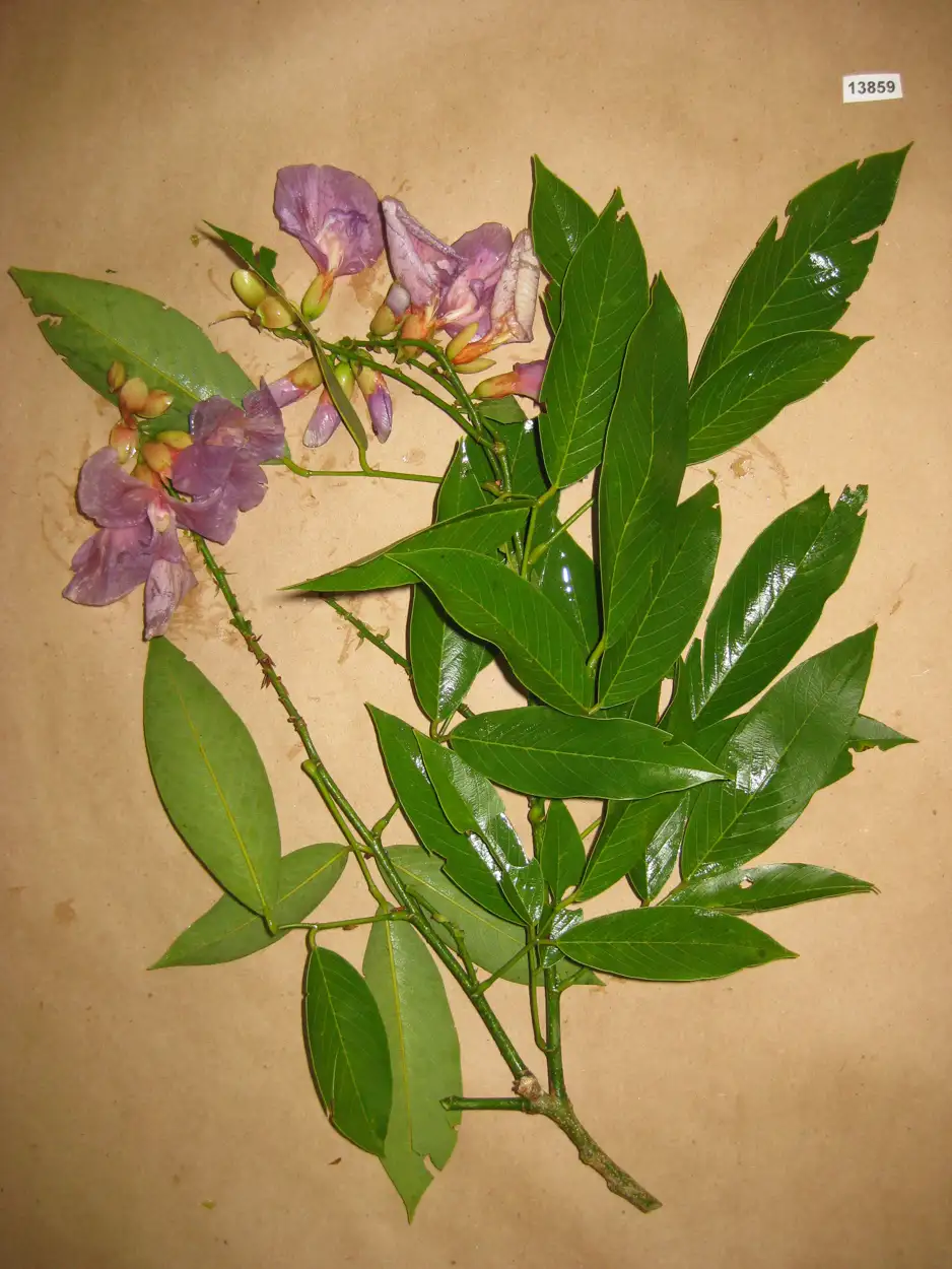
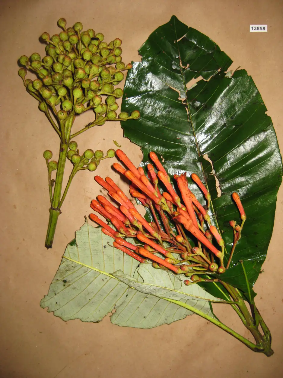
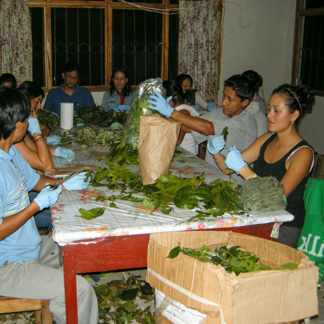
This required launching the Spectranomics field program—a grueling, globe-spanning effort to physically catalog the extreme environments we fly over. Over two decades, Greg Asner, Robin Martin, and our field teams have climbed roughly 20,000 trees across six continents.
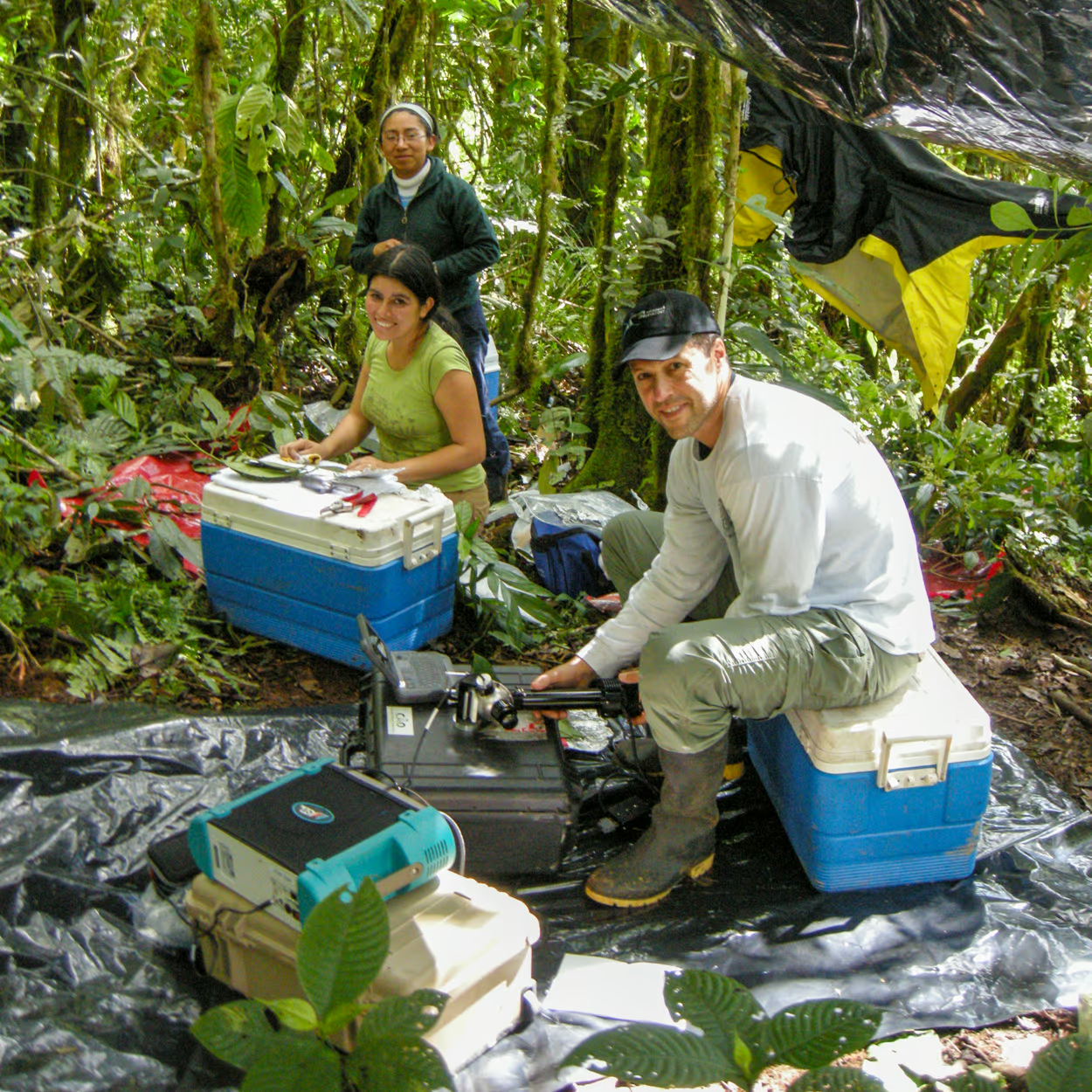
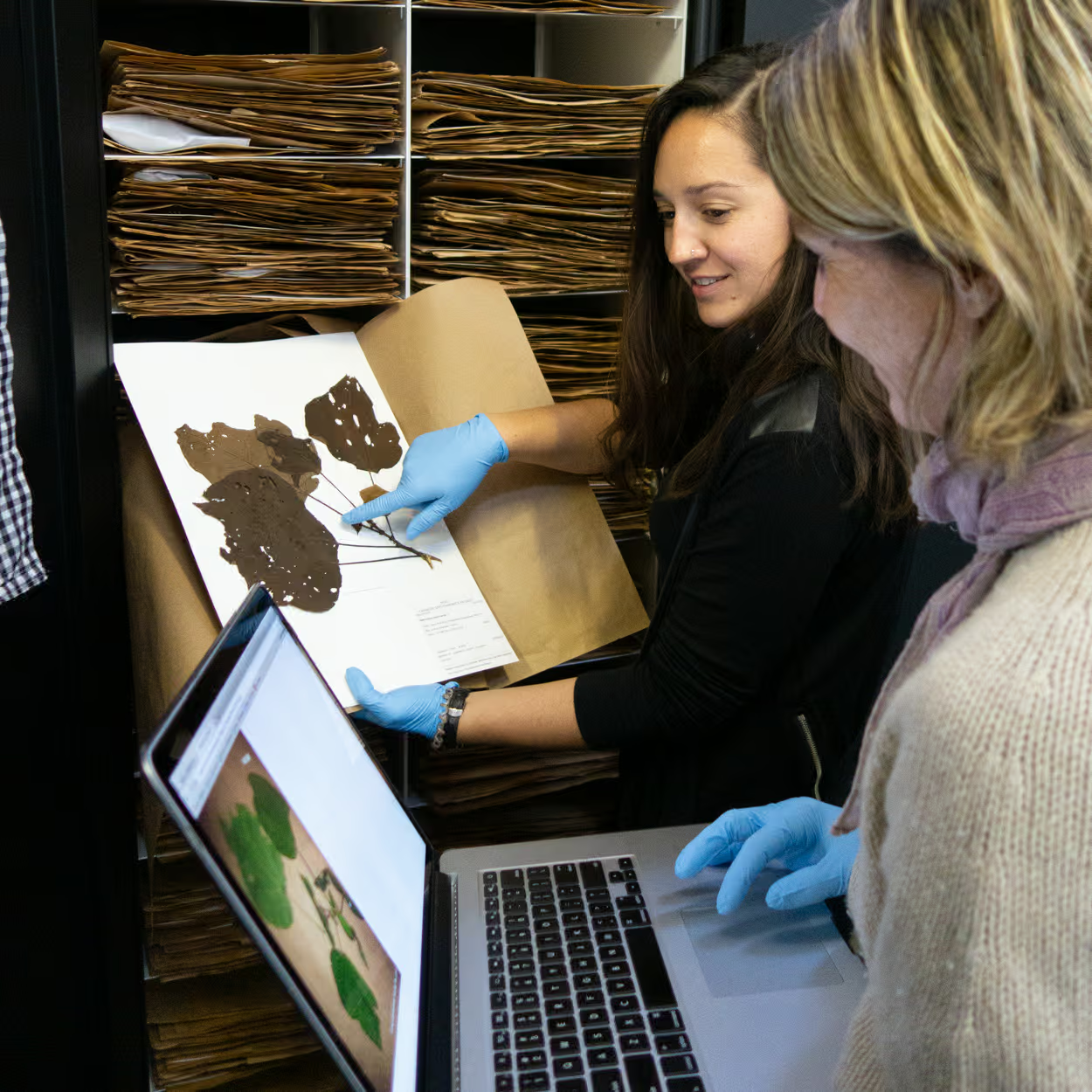
We don't just take samples; we measure their spectral signatures right in the canopy, secure the leaves in cryocoolers, and transport them back to Robin's chemistry lab to create precise taxonomic plant vouchers. This work has taken us deep into the most remote parts of the Amazon and forced us to race ahead of bulldozers during deforestation in Madagascar just to save plant samples before they disappeared forever.
The aircraft collects the data, but the truth is built on the ground. Today, that ground- and laboratory-based library is comprised of 3.5 million physical and hundreds of millions of digital samples.
Decoding the Signals