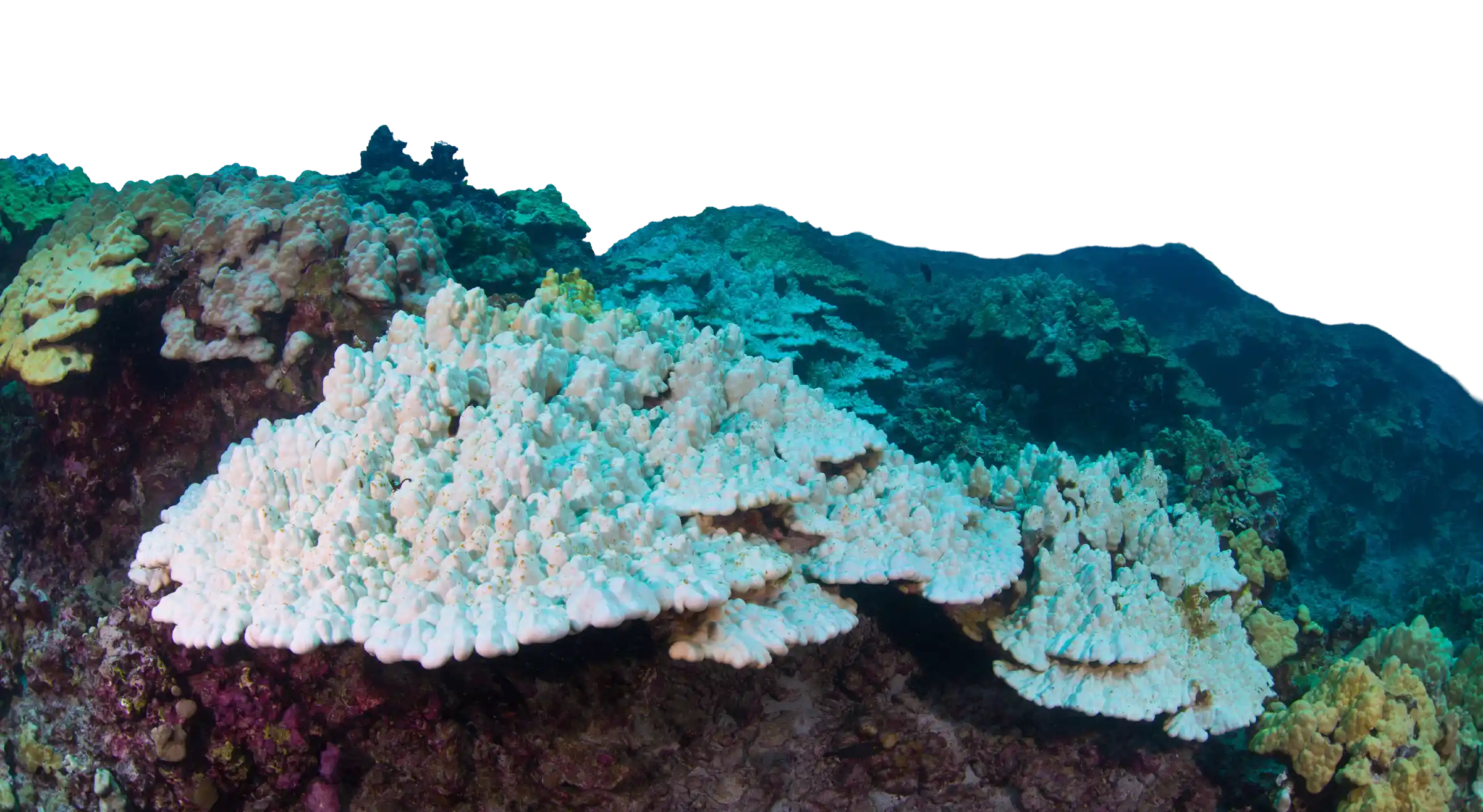
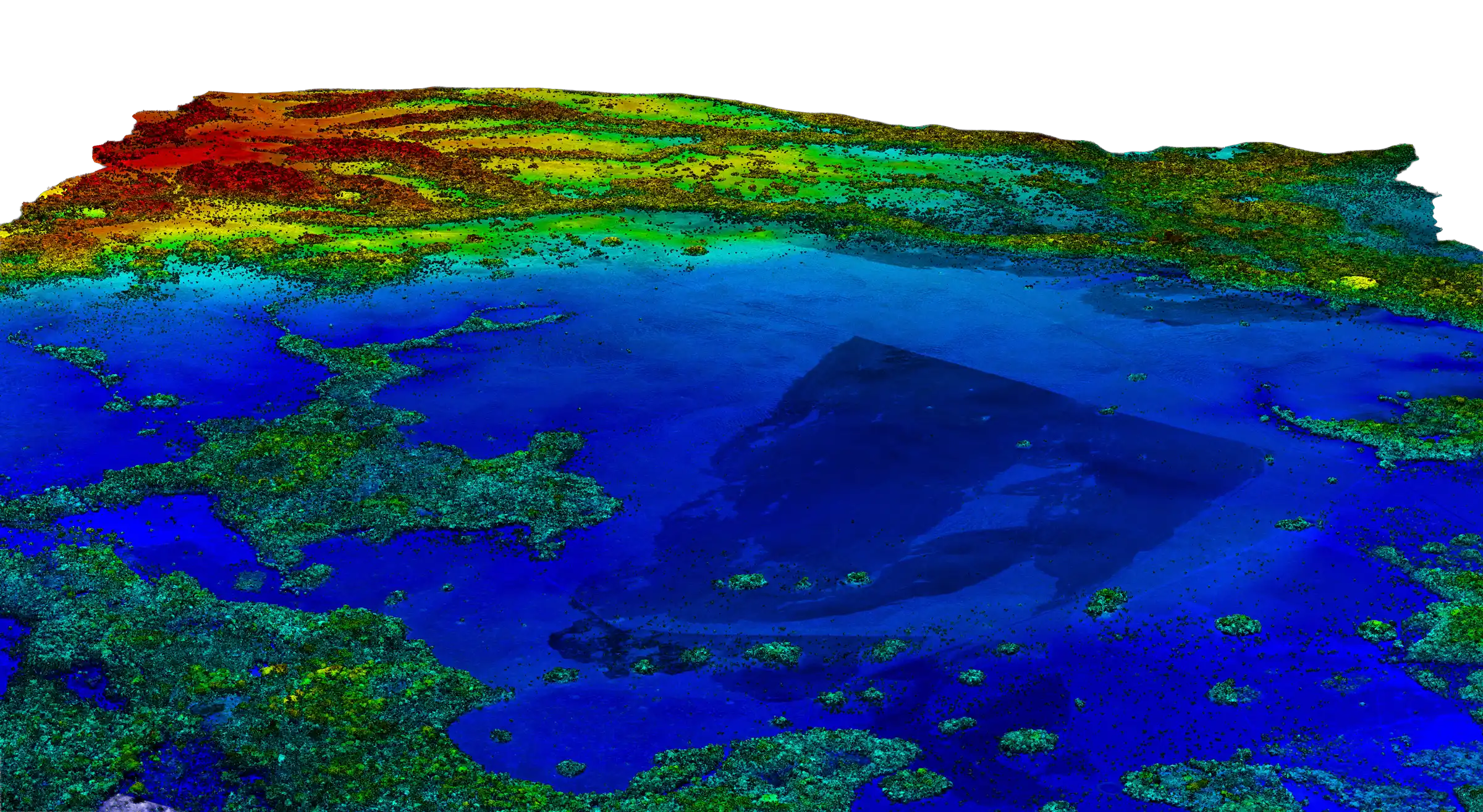
West Hawaiʻi
From Mapping to Restoration
Findings became the foundation for ʻĀkoʻakoʻa, a full reef restoration program combining aerial diagnostics with field rehabilitation, larval enhancement, and community engagement.
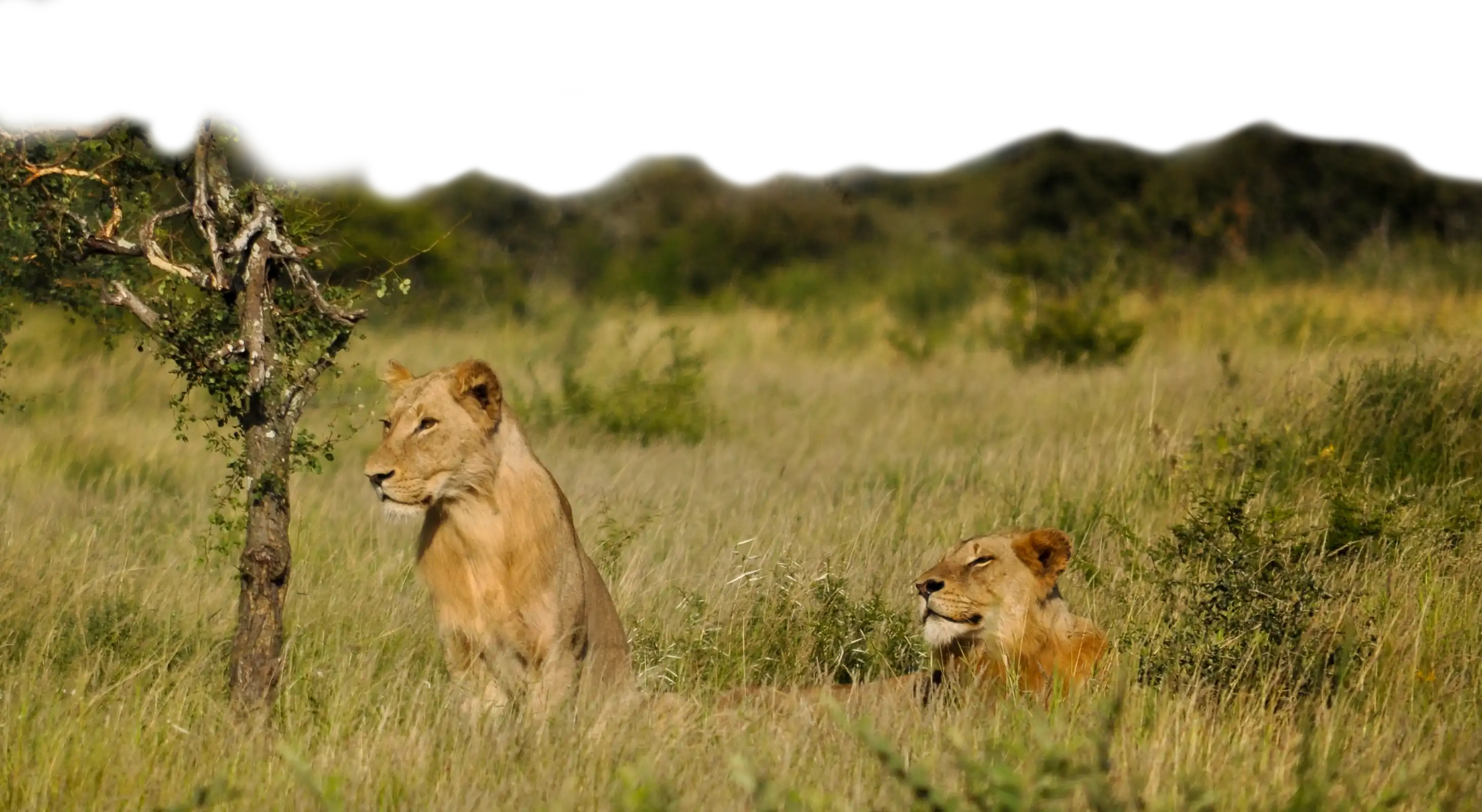
Kruger National Park, South Africa
What the Savanna Was Hiding
Mass elephant culling avoided through spatial redistribution. New fire management regimes adopted. Lion predator behavior research published.
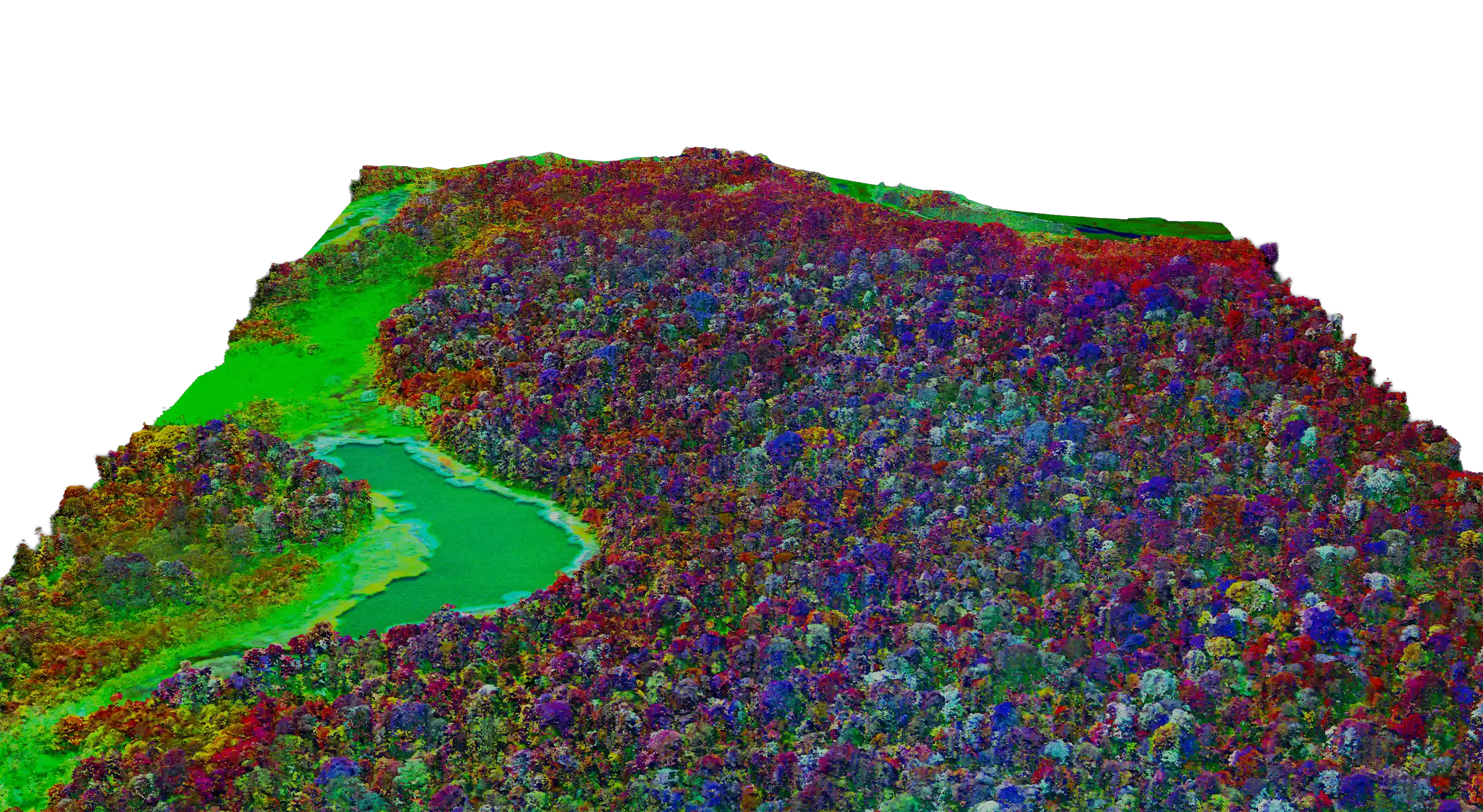
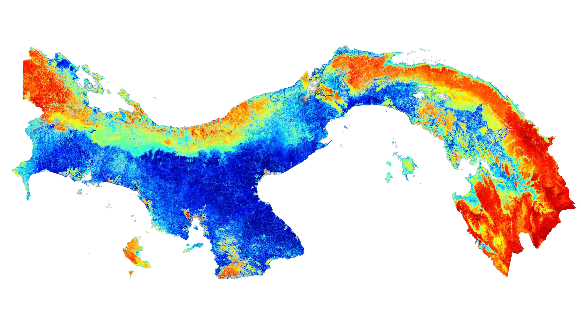
Panama
Mapping an Entire Country
Panama's carbon map became the template for how tropical nations account for forest carbon under international climate agreements.
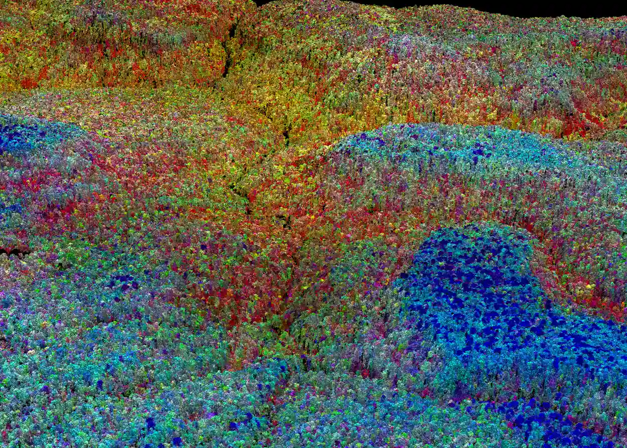
Hawaiʻi Island
Finding the Vector
DOA, Forest Service, and National Park Service adopted new fencing and ungulate removal priorities based on findings.

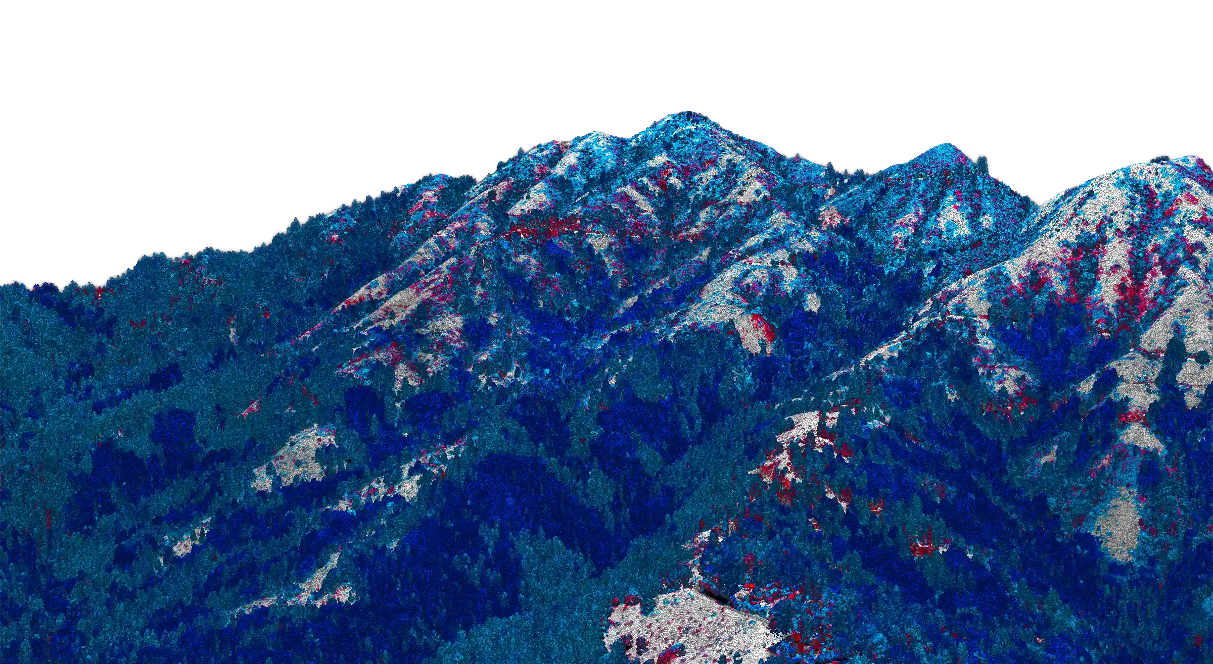
Sierra Nevada, California
Saving the Giants
Tens of thousands of giant sequoias survived drought and subsequent fire seasons. California's forest management and climate emissions program informed by carbon mapping data.
Borneo, Malaysia
The Best Million Acres
Direct government policy decision protecting one million acres of old growth forest.
Colombia
Mapping the Amazon at Night
Published carbon stock map of Colombian Amazon—never mentioned the FARC.
These three words are painted on the tail of our aircraft.
Discovery, Conservation, Action.
They describe everything we do