The Best Million Acres
The Question
Malaysia was developing. Forest was coming down — that was decided. The question they brought to GAO wasn't whether to cut, it was which million acres to save. Where were the highest species densities? Where was the most carbon stored? Intersect those two maps and protect whatever sits at the center.
What We Found
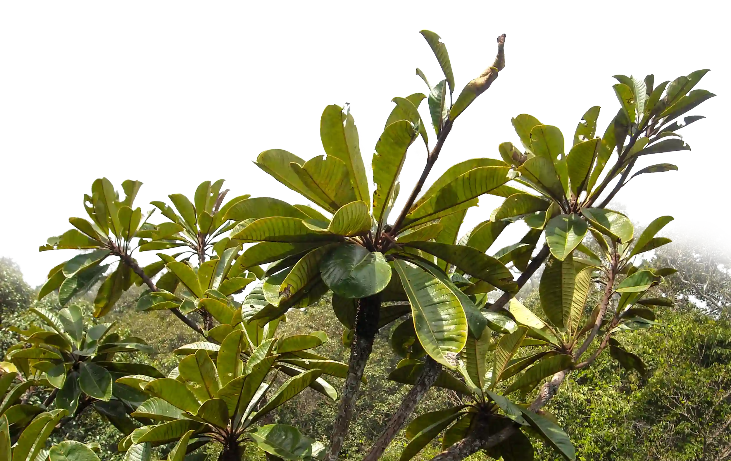
The spectral and LiDAR data revealed exactly that intersection — the forests with the highest biodiversity per acre and the highest carbon per acre mapped cleanly. There was also an unexpected discovery: the tallest tropical tree on Earth at the time, documented in a National Geographic piece. And before any of it could happen, the team had to participate in a week-long shamanic ceremony — sacrificing a chicken, drinking whiskey — to receive a blessing from indigenous people to fly in the sky above their land.
The Outcome
Malaysia used the maps to make the call. One million acres protected. The rest developed. Heart-wrenching math, but the best million acres of Borneo forest now has protection because the data made the choice undeniable.