
Mapping the Amazon at Night
The Question
The President of Colombia had arranged everything. Greg flew in from Bogotá over the Andes to an Air Force base deep in the Amazon. Then the base commander told him they couldn't fly. The FARC was shooting at everything in the air. Two months of mission time, and they couldn't leave the ground.
What We Found
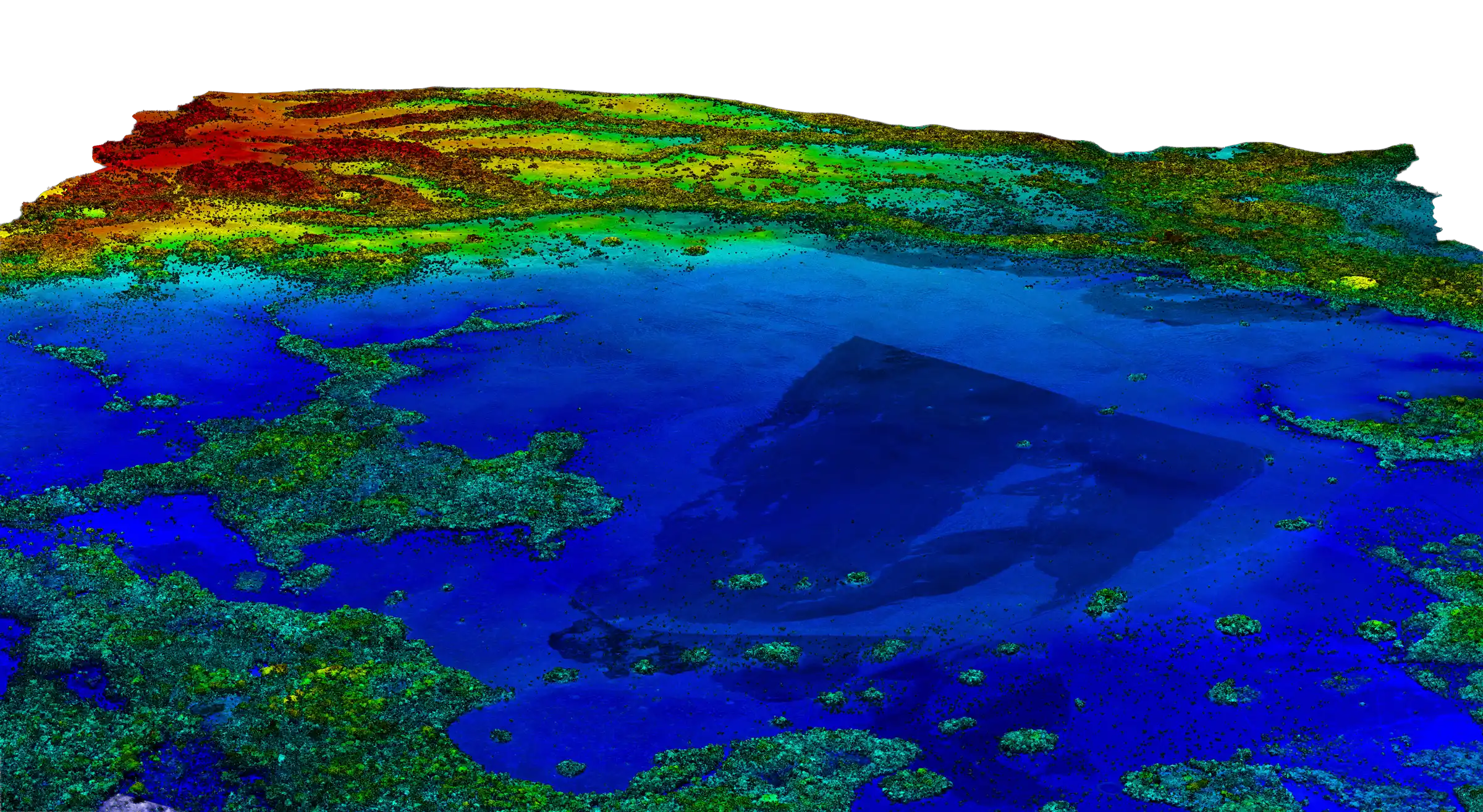
If they couldn't fly in daylight, could they fly at night? The spectrometer needs sunlight — biodiversity mapping was off the table. But the LiDAR lasers work in complete darkness. Carbon stocks and forest structure could still be mapped. The Colombian Air Force agreed. Running lights off, night vision goggles on, two armed fighter jets circling overhead for every flight. Some nights the jets waved them off and dropped ordnance on targets below. There are bomb craters in the data. Over two deployments they mapped the entire Colombian Amazon without ever flying in daylight.
The Outcome
The complete carbon and structure map of the Colombian Amazon was published. The paper never mentioned the FARC. It never mentioned the fighter jets. It was just science.