
From Mapping to Restoration
The Question
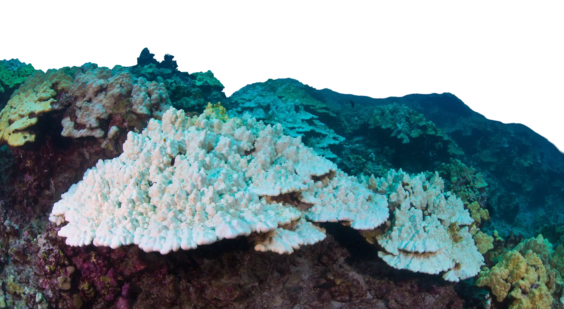
After the 2015 marine heat wave devastated coral reefs along West Hawaiʻi, we needed to understand what remained. Where was living coral? Where was it dead? Were there areas that survived — refugia that might hold the key to recovery?
What We Found
By 2020 we had developed the capability to map living versus dead coral from the air, detecting faint chemical signatures of coral tissue through the water column. We mapped the entire West Hawaiʻi coastline at one-meter resolution — in some embayments down to ten centimeters. The data revealed a coast in crisis, but not without hope. Scattered along the coastline were bright spots — areas where coral had survived the heat wave intact. These refugia became the focus of everything that followed.
The Outcome
The coral mapping work grew into something larger than a mission. It became ʻĀkoʻakoʻa — combining GAO's aerial diagnostics with field-based coral rehabilitation, larval enhancement, and community engagement. The GAO provides the maps. ʻĀkoʻakoʻa provides the restoration. Together they represent what's possible when discovery leads to action.