

The ʻĀkoʻakoʻa Coastline Survey
A 120-mile contiguous reef survey along West Hawaiʻi — from ʻUpolu Point to South Point — mapping one of the longest unbroken coral corridors in the state.
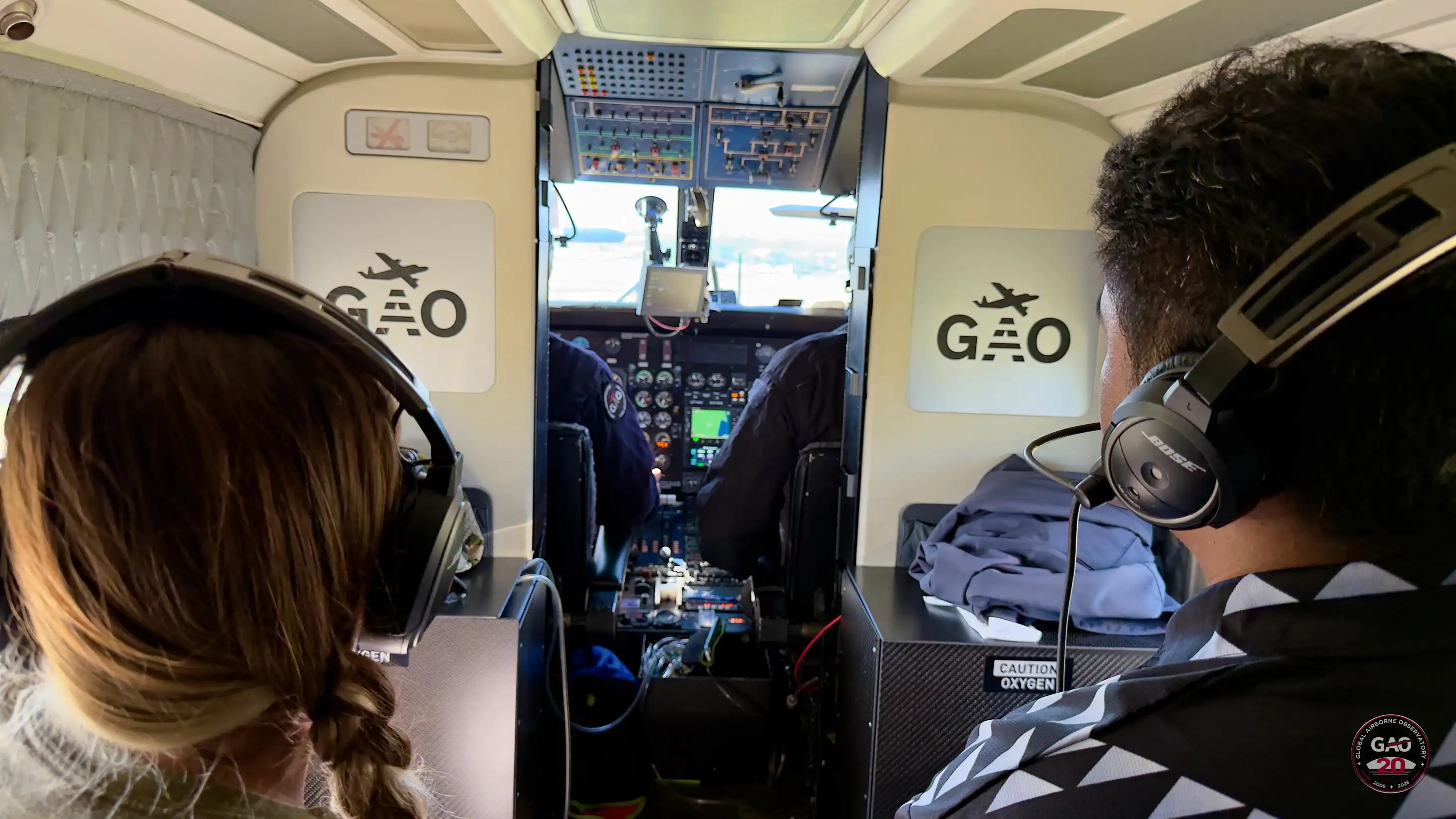
The Pacific campaign's first major survey mapped the ʻĀkoʻakoʻa coastline — a 120-mile contiguous reef corridor along West Hawaiʻi, from the island's northernmost tip to its southernmost point.
The survey began at ʻUpolu Point, where flight teams initiated baseline mapping of fragile coral habitats alongside native terrestrial forest ecosystems, capturing the critical interface where land meets sea.
Tracking south along the volcanic coastline, airborne arrays swept past Keāhole Point, capturing high-resolution imagery over the core reef restoration zones near the Natural Energy Laboratory of Hawaiʻi Authority (NELHA) and Kona International Airport.
The survey concluded at Ka Lae — South Point — the southernmost point in the United States, where high-speed mapping sweeps captured the high-energy marine currents that mark the final boundary of the contiguous coral corridor.
This survey establishes a critical baseline for one of Hawaiʻi's most significant reef restoration efforts, providing the data foundation for long-term monitoring of the ʻĀkoʻakoʻa coastline.