
Guam Dive Calibration Complete
915 seafloor surveys. 131 dives. 10-15 foot seas. The Guam dive calibration is complete — and the data covers the entire CNMI.
Guam Reef Calibration Complete for 2026 Pacific Mission
On July 15, the dive team wrapped up two weeks of field calibration surveys across Guam’s reef systems under some of the most demanding conditions the project has faced.
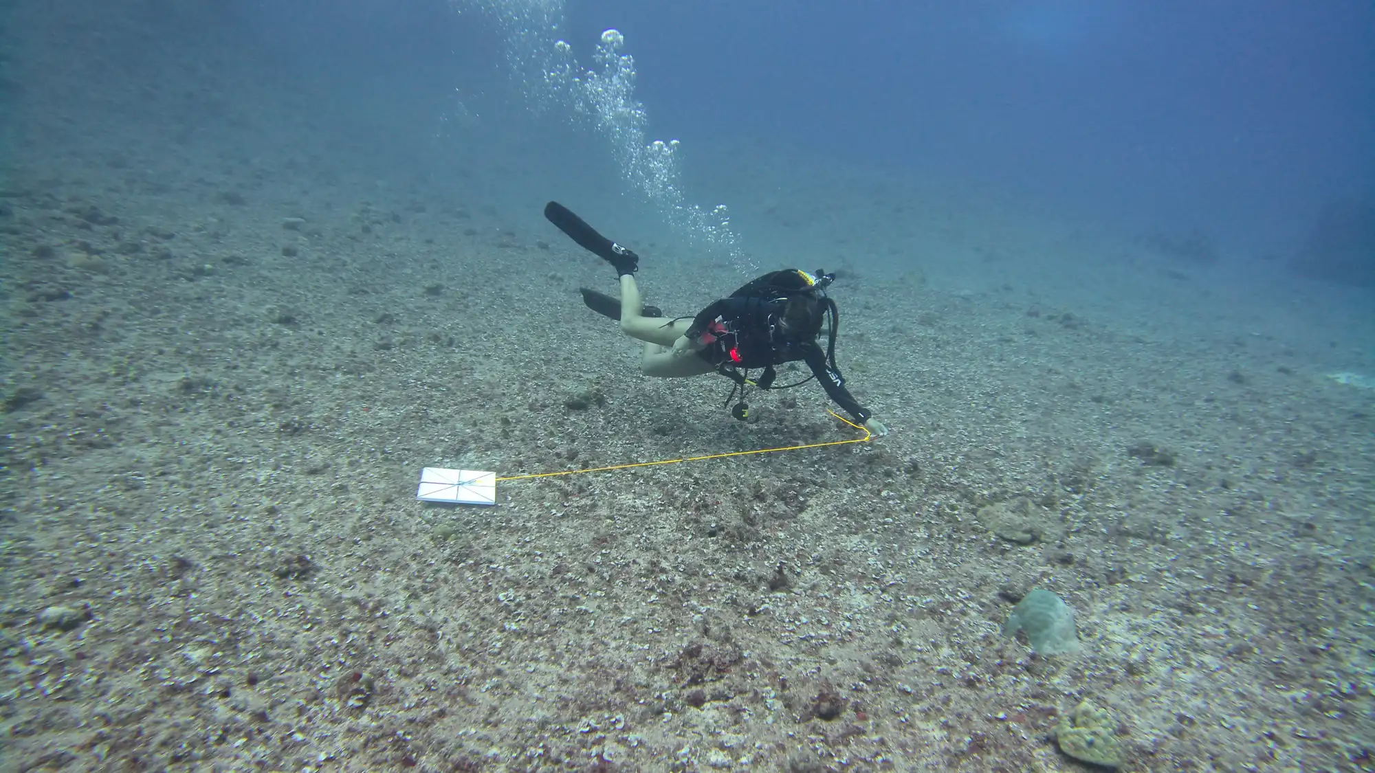
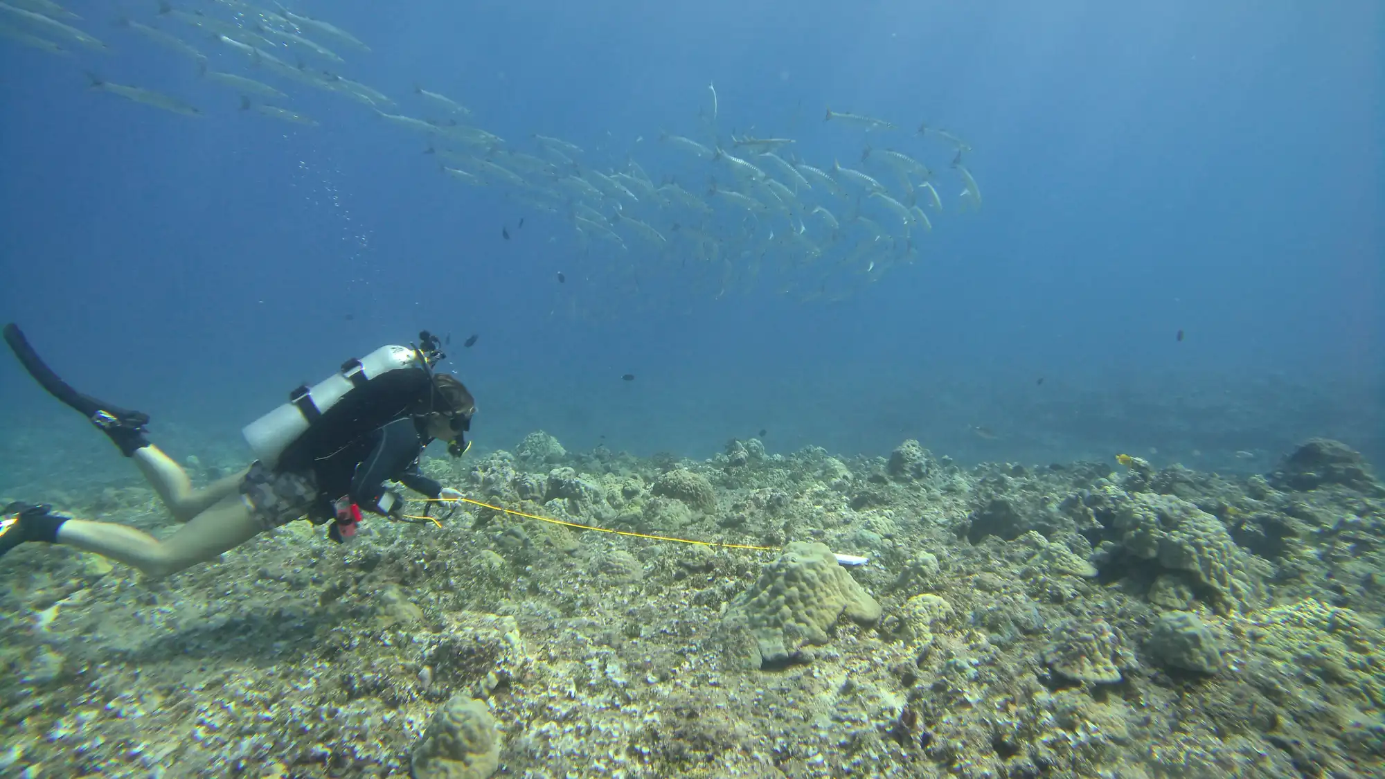
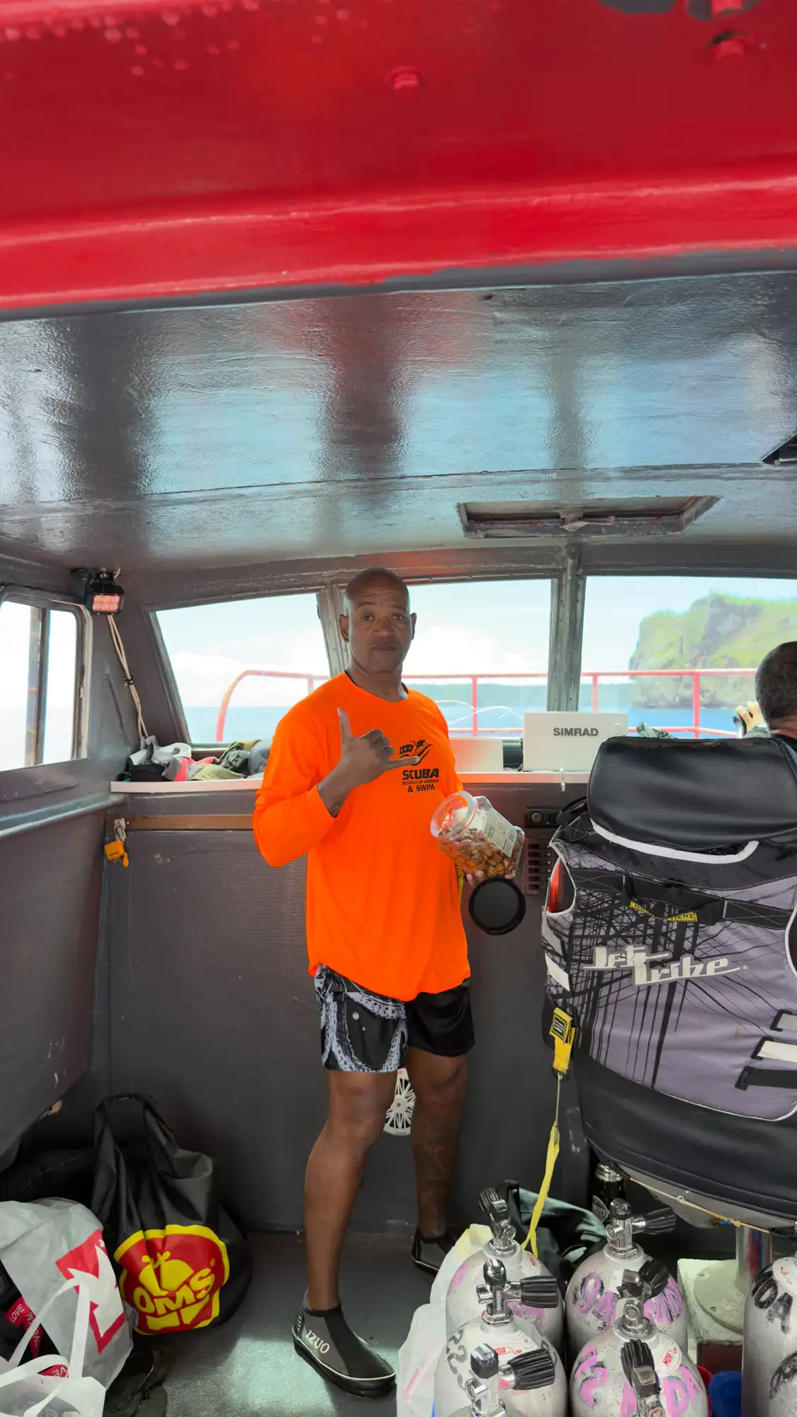
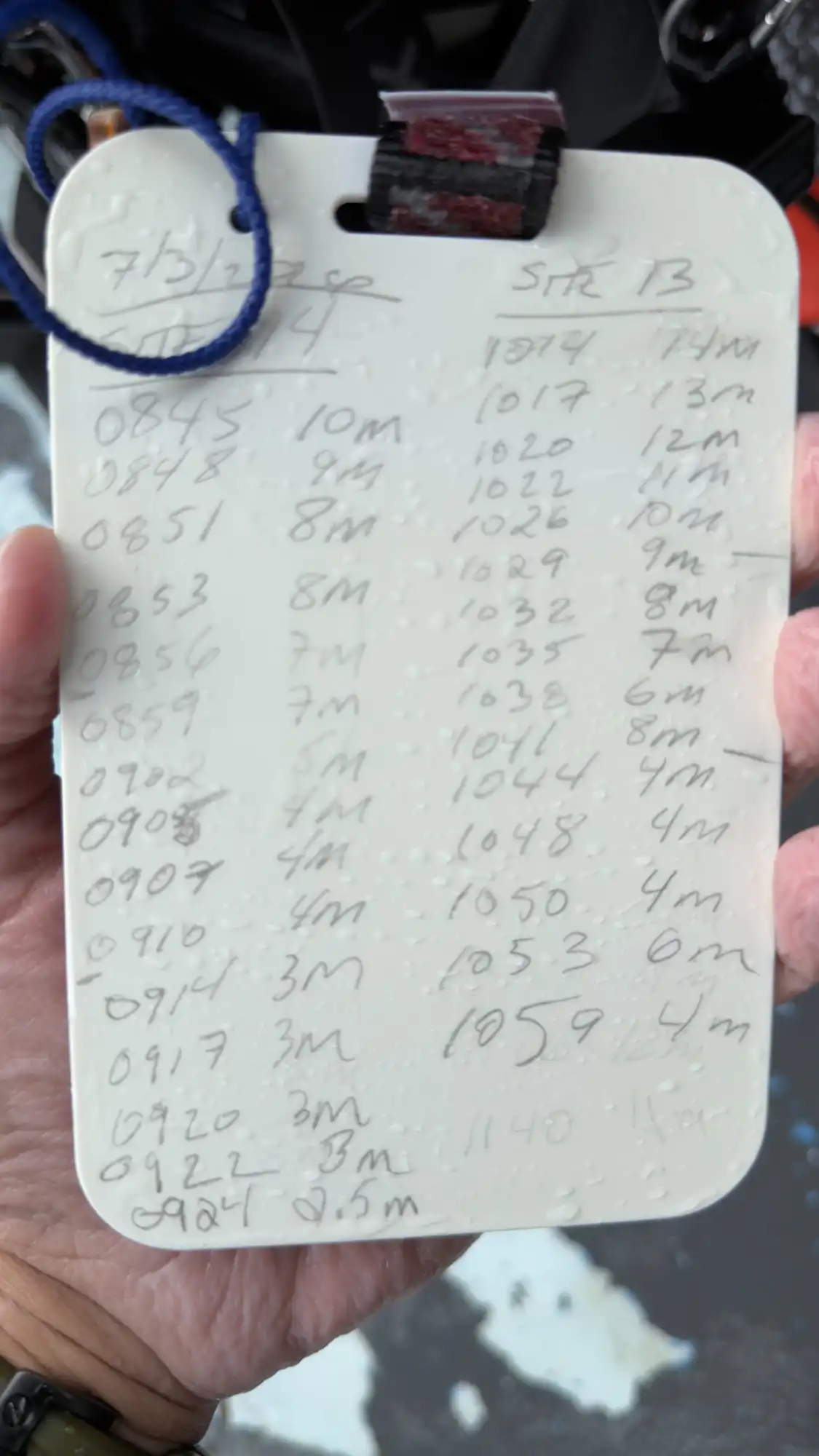
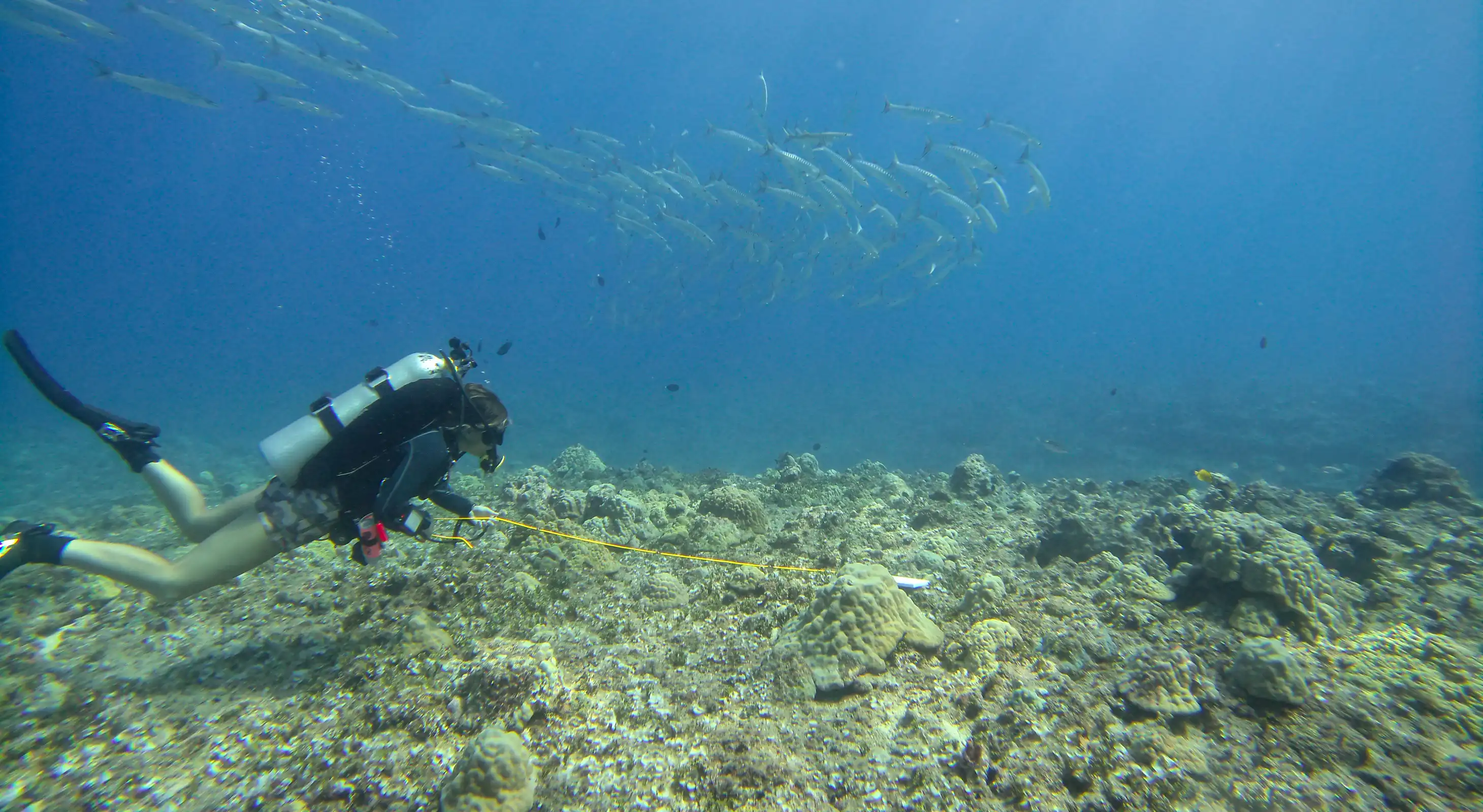
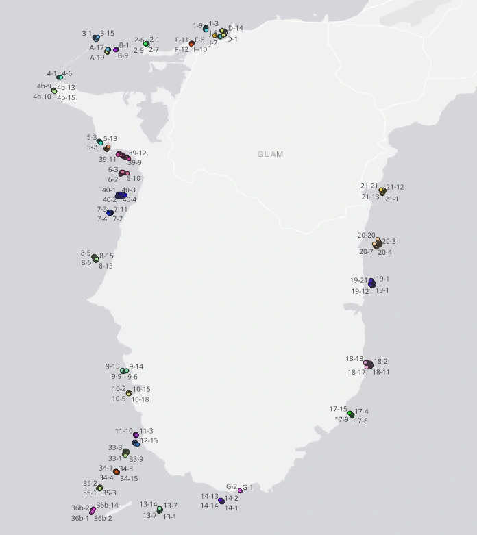
Operating through the Hawaiʻi Marine Education and Research Center (Hawaiʻi MERC) under contract to the Global Airborne Observatory (GAO), a four-person dive team logged 915 individual survey points across 131 dives. Their work mapped coral cover, biodiversity, and reef condition from the surface down to the seafloor. This ground-truth data directly calibrates the aerial imagery collected during the mapping phase, allowing GAO to validate high-altitude sensor readings against real-world seafloor conditions.
Why Guam Calibrates the Entire CNMI
Ecologically, Guam is part of the broader Mariana Archipelago, sharing the same baseline mix of coral species found throughout the region. The data from Guam will work to calibrate all of CNMI, extending the reach of these calibration models across the entire island chain from Rota in the south all the way to Uracas in the far north.
What the Reefs Revealed
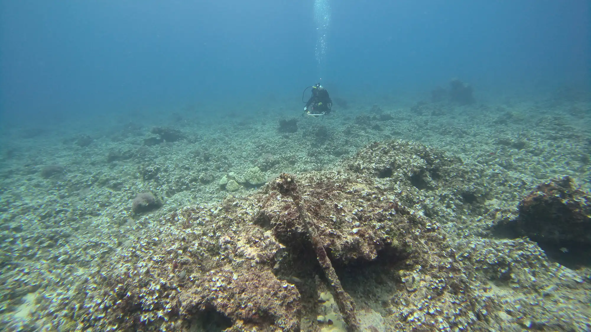
Guam’s reefs presented a striking contrast, ranging from severely degraded and nearly dead to remarkably vibrant and healthy:
- Western Coast: Reefs on the west side showed heavy degradation, stemming from decades of coastal development and extensive damage sustained during World War II.
- Eastern Coast: Reefs on the east side proved notably more intact. Positioned slightly deeper and in harder-to-access waters, these systems were largely spared from major WWII landing operations that permanently altered western shorelines.
Operating in Heavy Seas
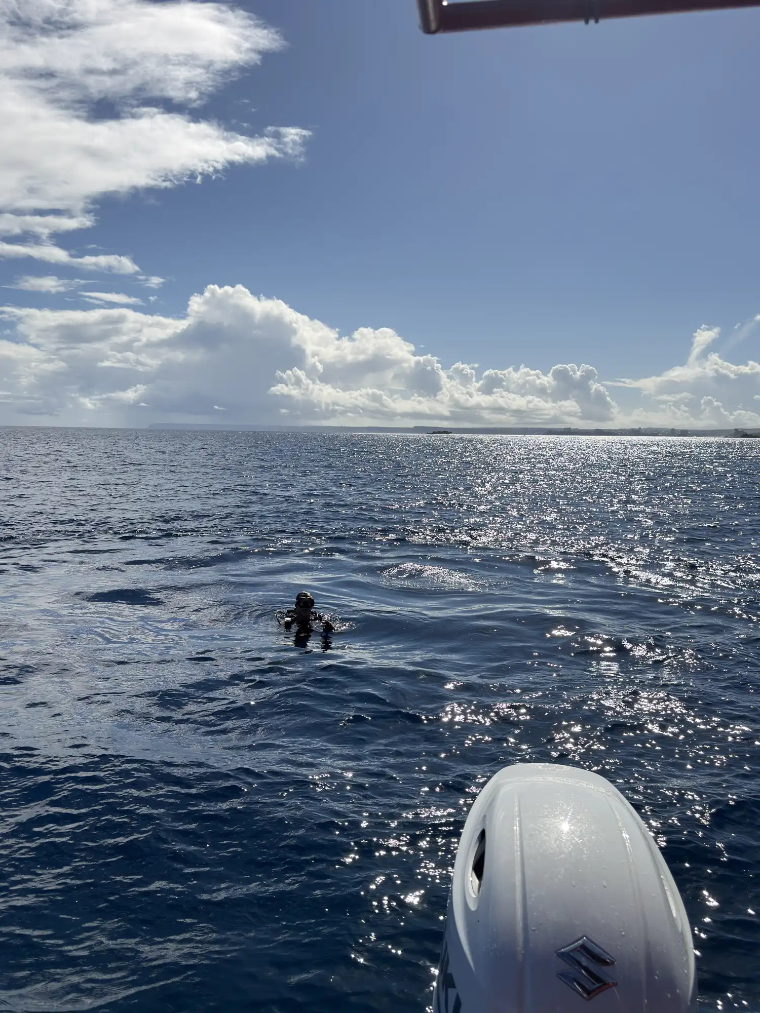
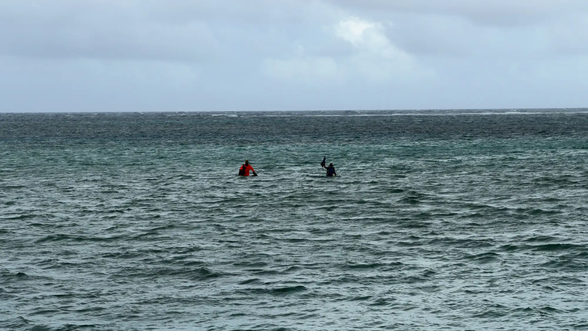
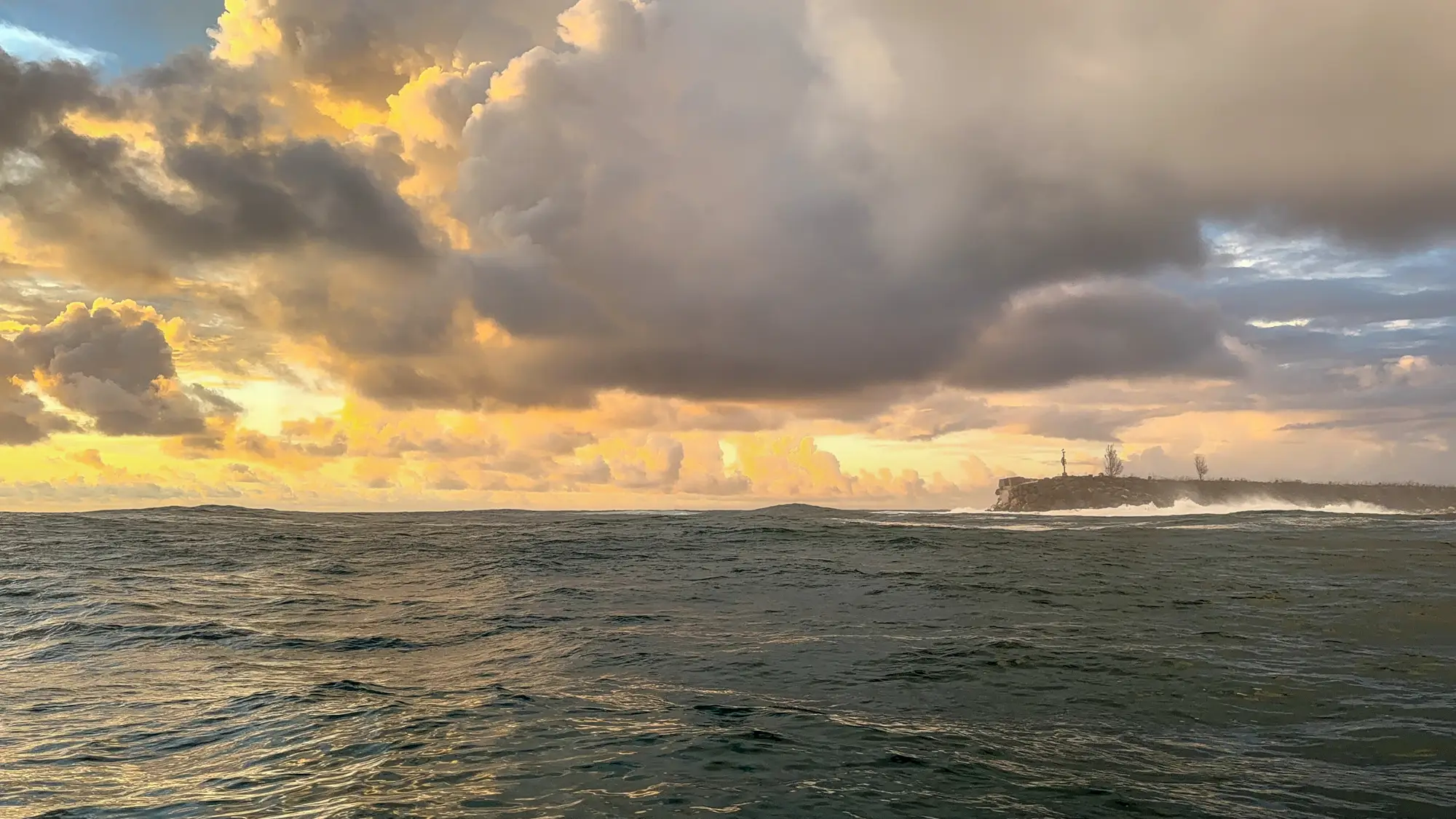
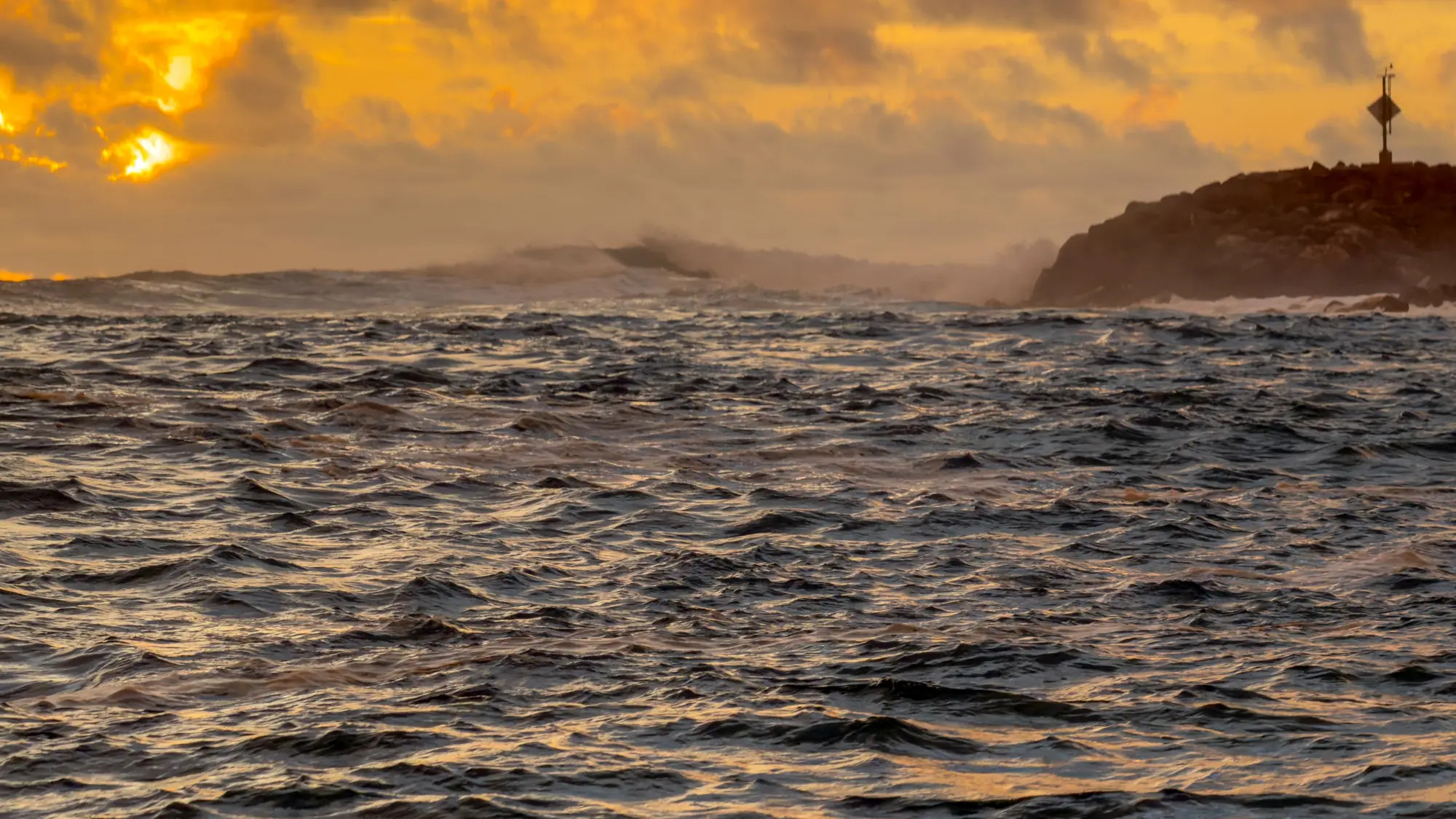
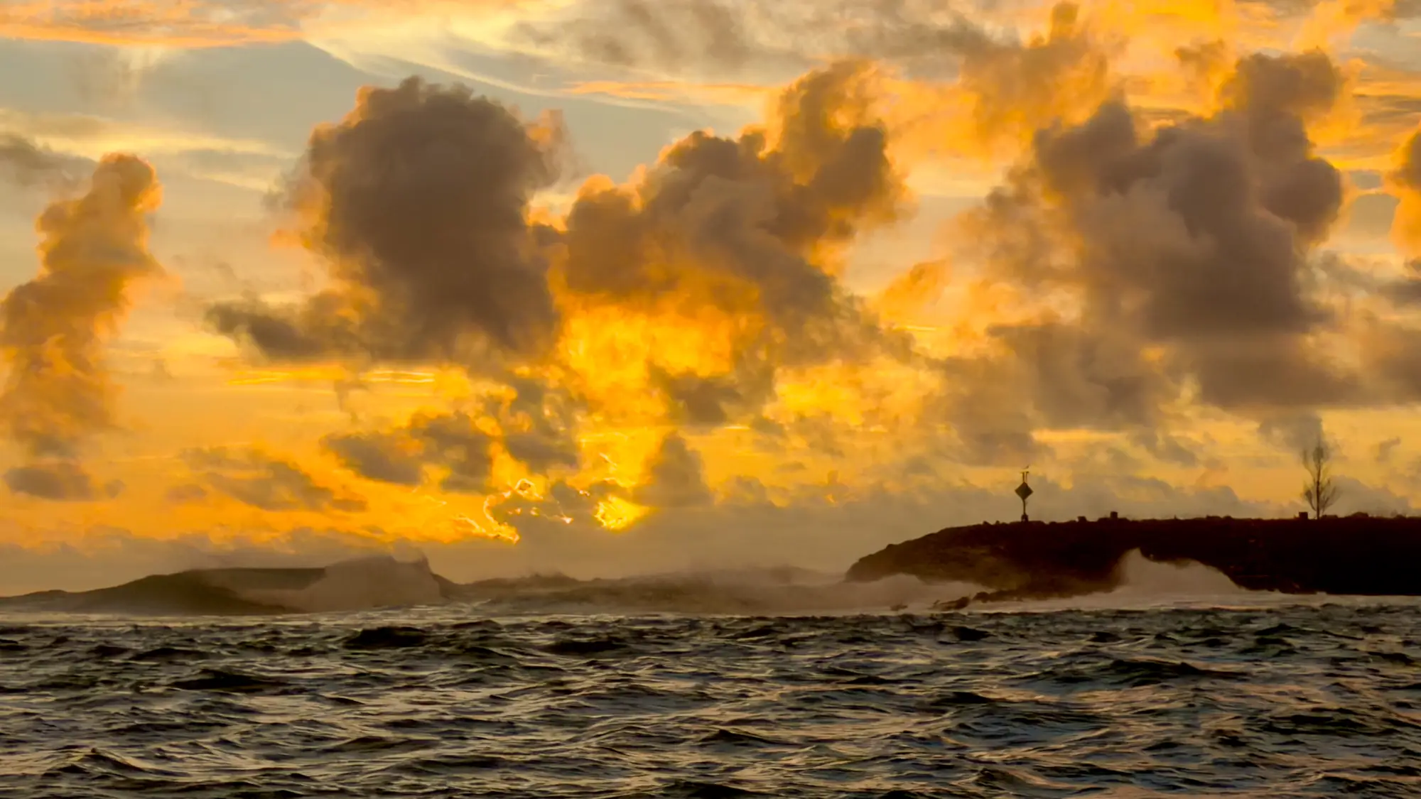
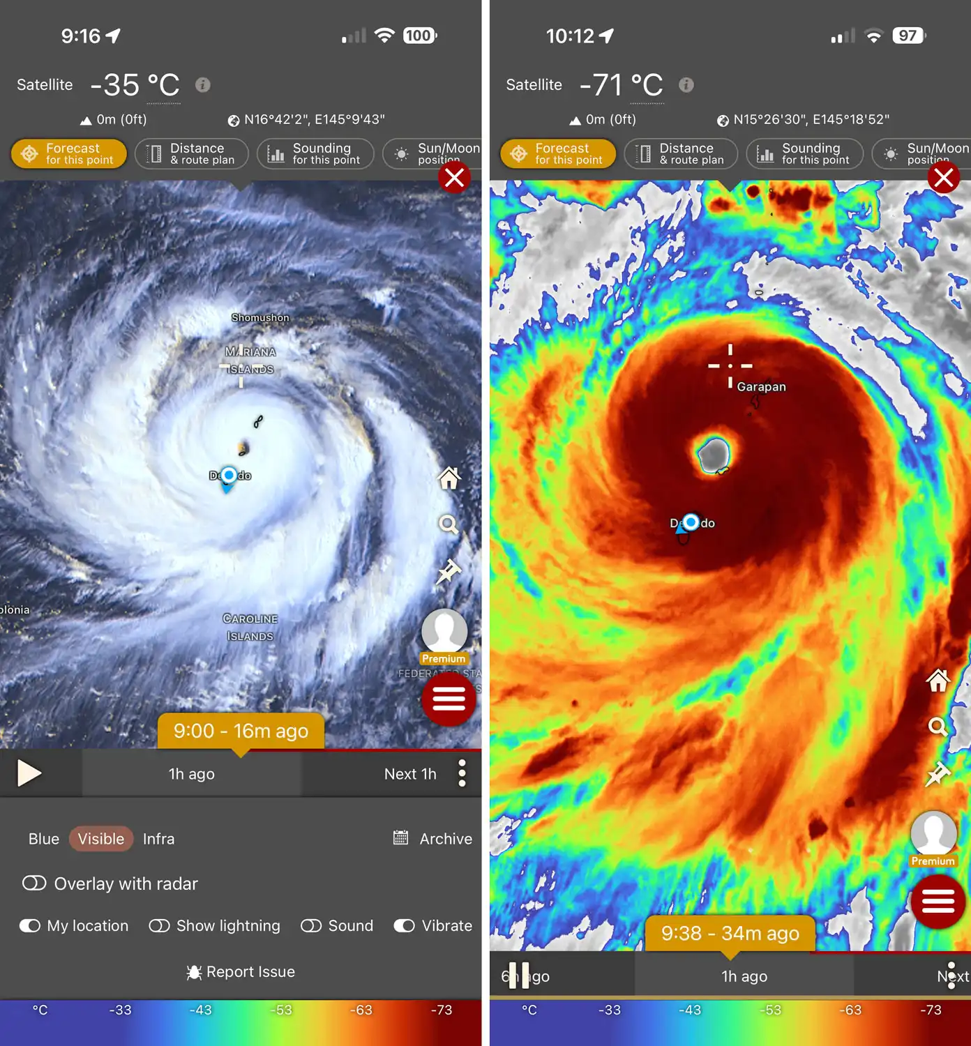
The team pressed forward through Typhoon Bavi, contending with sustained 10- to 15-foot seas for nearly the entire two-week deployment after only two initial days of calm weather.
Next Steps & Local Impact
With primary aerial and aquatic data collection for Guam and the CNMI now substantially complete, the focus turns to data processing and laboratory analysis at Arizona State University. Final maps are expected in the coming months, with a potential targeted re-flight planned for October to refine coverage in key areas.
The mission is already making a strong impression with regional conservation leadership. Upon receiving early imagery covering the remote northern islands of Uracus and Maug, Kalani Reyes, Coral Reef Lead for the CNMI government, shared:
"MAHALO GREG!! That is SO COOL man, thank you so much for sharing! I have never seen all of my islands before. So this is a big first for me, and the CNMI!"
Mission Gallery
Guam Dive Calibration Complete