
Mapping Palau
GAO turns to Palau, a compact reef region home to about half of the world’s coral species, to map living coral and calibrate the Tanager satellites.
Mapping the Reefs That Persist
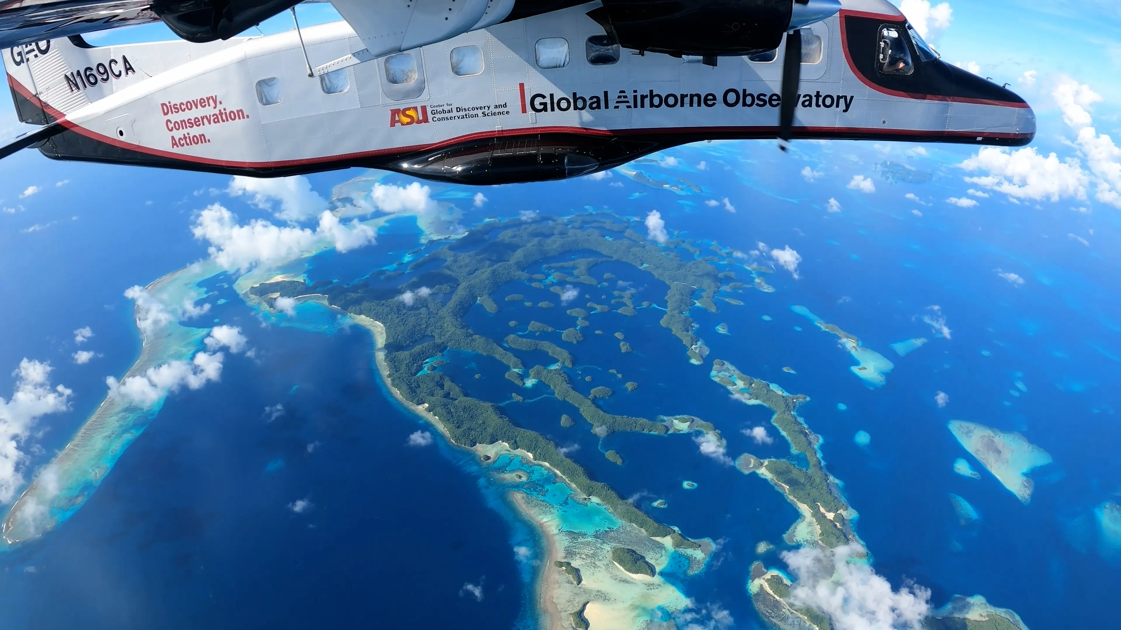
GAO is now airborne to Palau, and the team’s energy turns to science mapping. The mission is the same as every mission in the Pacific campaign, with two goals.
The first is to map the living corals of Palau in order to identify refugia, or persisting reefs. These areas will receive the greatest attention from conservation partners in the region.
The second is to calibrate the Tanager-1 and Tanager-2 satellites for Version 2.0 of the Allen Coral Atlas.
A Compact Reefscape with Outsized Diversity
Palau is a complicated reefscape, but a compact one. The distance from north to south, including all of the outer reefs, is almost identical to the length of West Hawaiʻi Island. Within that footprint it harbors about 50% of the world’s coral species.
What GAO Will Map
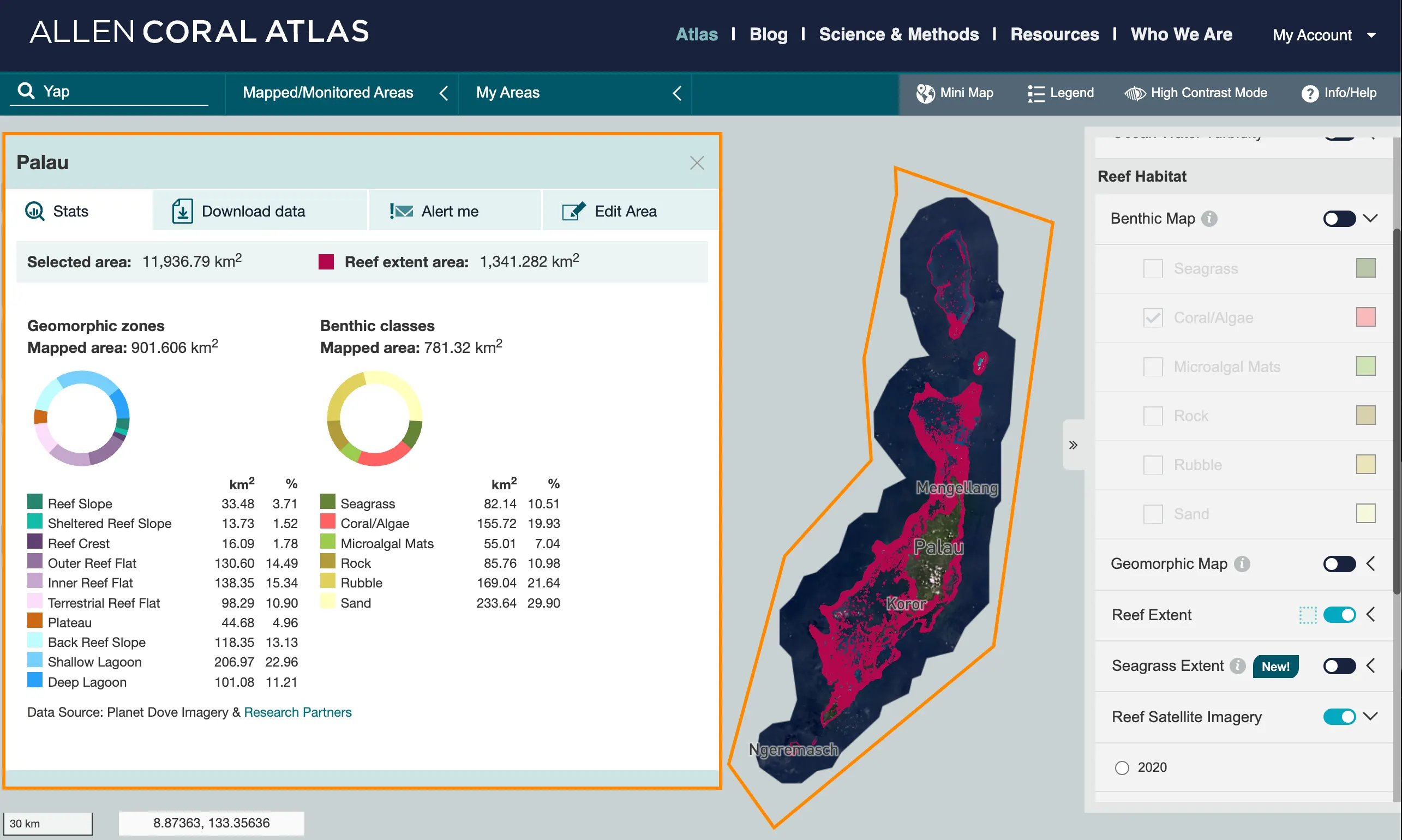
Greg Asner’s analysis from the Allen Coral Atlas shows the habitats across the region. The team will map all of the reef shown in red, plus an additional kilometer beyond it, to make sure nothing is missed.