
Guam & CNMI Mapping
After months based out of Guam, GAO has completed aerial mapping across the full CNMI island chain — and the team is heading underwater next.
Following the transit west through the Marshall Islands, GAO touched down in Guam in May 2026 to establish a long-term base of operations — hangar, support team, and flight operations running from the airport.
The move from Hawaiʻi came with real challenges. Persistent cloud cover limited flying to clear windows each morning, and the team faced aircraft technical issues that required replacement parts shipped from the US mainland.
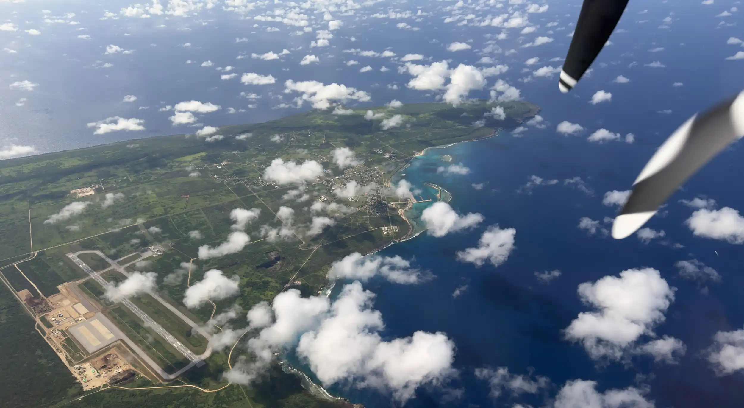
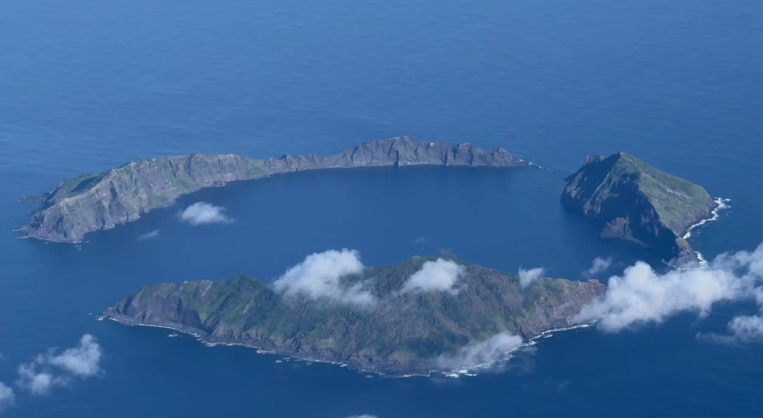
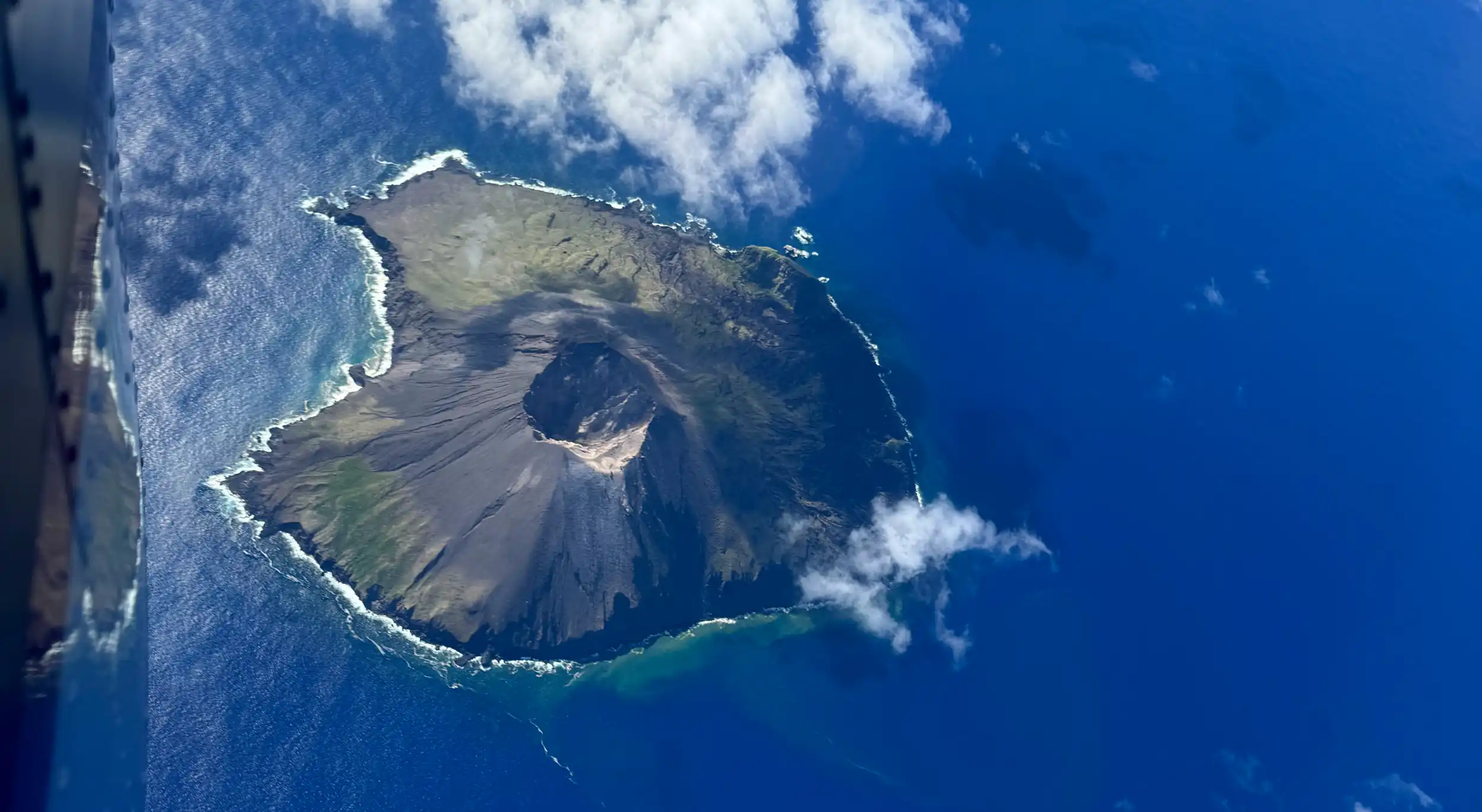
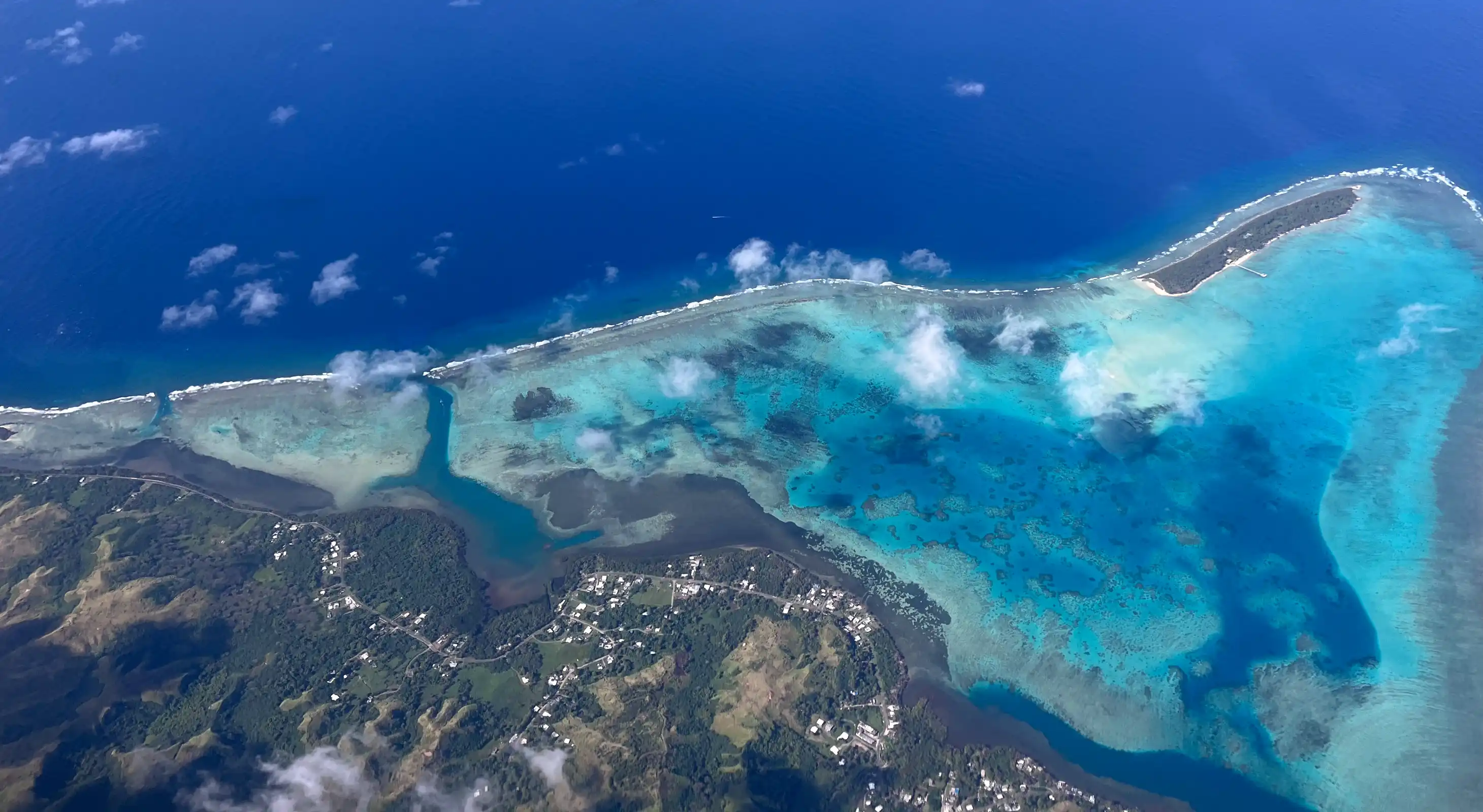
Despite the delays, the team completed aerial mapping across the full CNMI island chain and Guam in June 2026 — covering reefs from Guam and Saipan north to the remote, rarely surveyed islands of Maug, Asuncion, and Uracus.
With aerial mapping complete, the team transitions to dive and ground verification from June 28 through July 15. The dive team includes Dr. Robin Martin, Greg Asner, Uhiwai Wall, and Sean Hopson, alongside collaborators from Guam and the CNMI — conducting hundreds of seafloor surveys of live coral cover and biodiversity to ground-truth the aerial data.
Collected data will be shipped to GAO's data lab at Arizona State University for full analysis — a process expected to take several months.
Mission Gallery
Guam & CNMI Mapping