
Yap Island: Mapping Begins
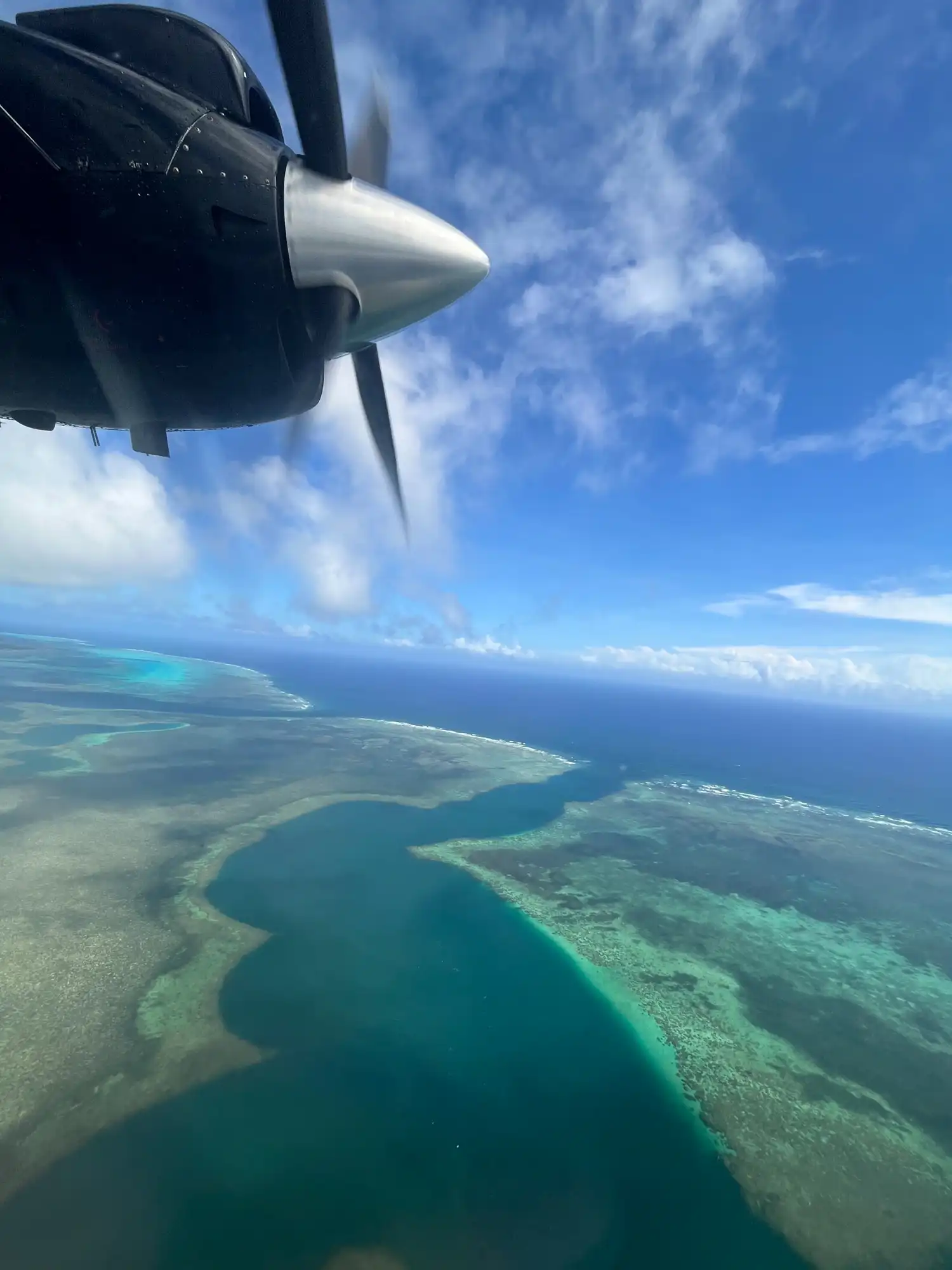
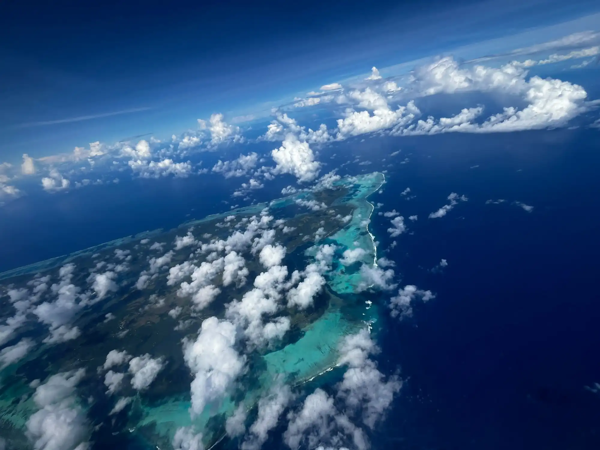
GAO took a three-day break from mapping Palau to fly Yap Island, working hand in hand with Yap’s government and OneReef.
Initial Mapping and an Introduction to Yap
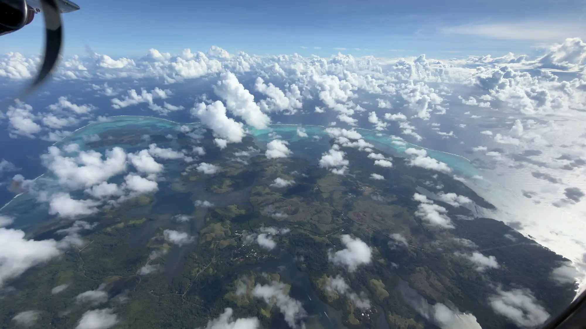
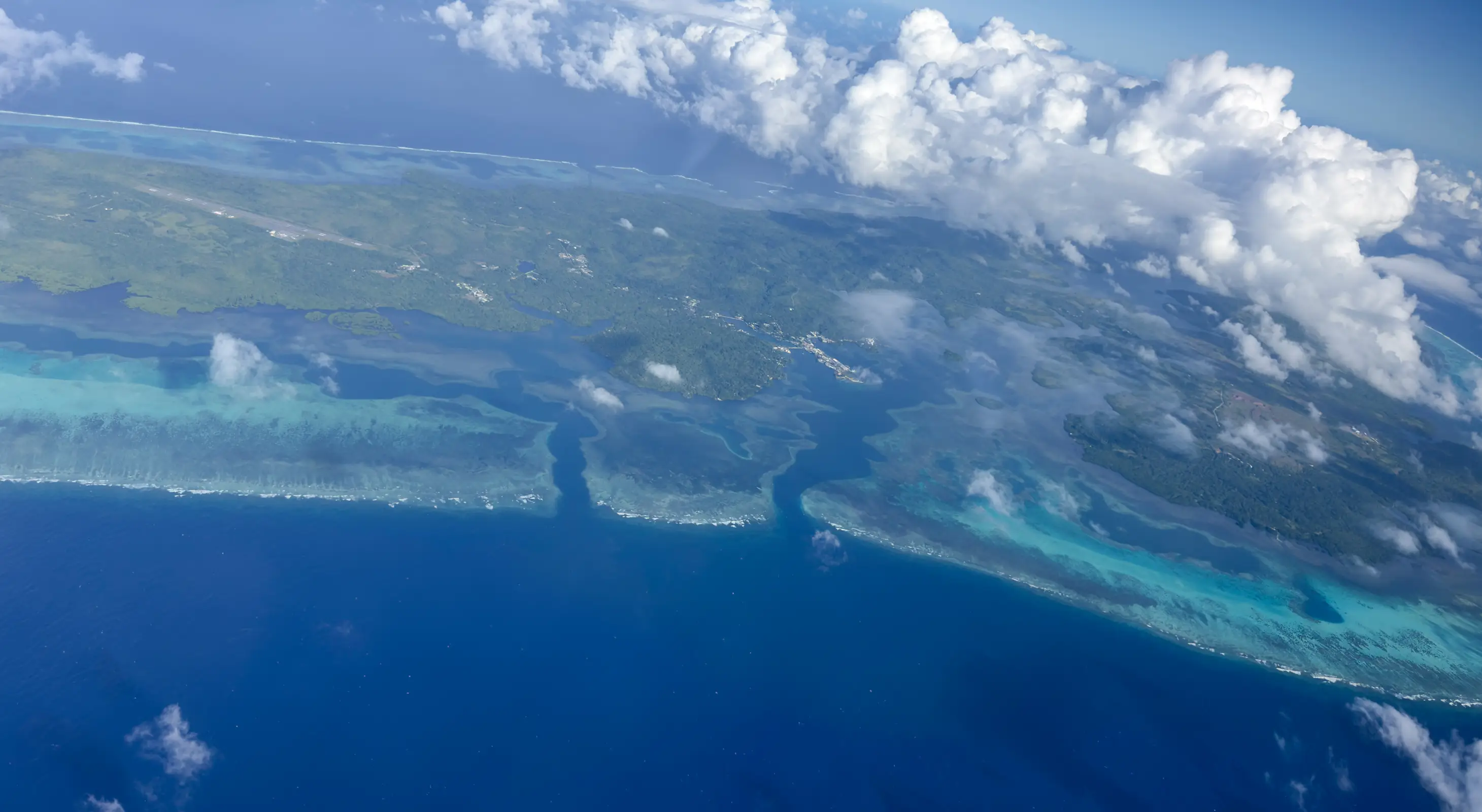
GAO took a three-day break from mapping Palau to visit the island of Yap in the Federated States of Micronesia (FSM), working hand in hand with OneReef and the Yap State government. The team learned a great deal about Yap State and the FSM, and mapped Yap Island and a bit of the remote Ngulu Atoll.
Hosted by Yap’s leaders
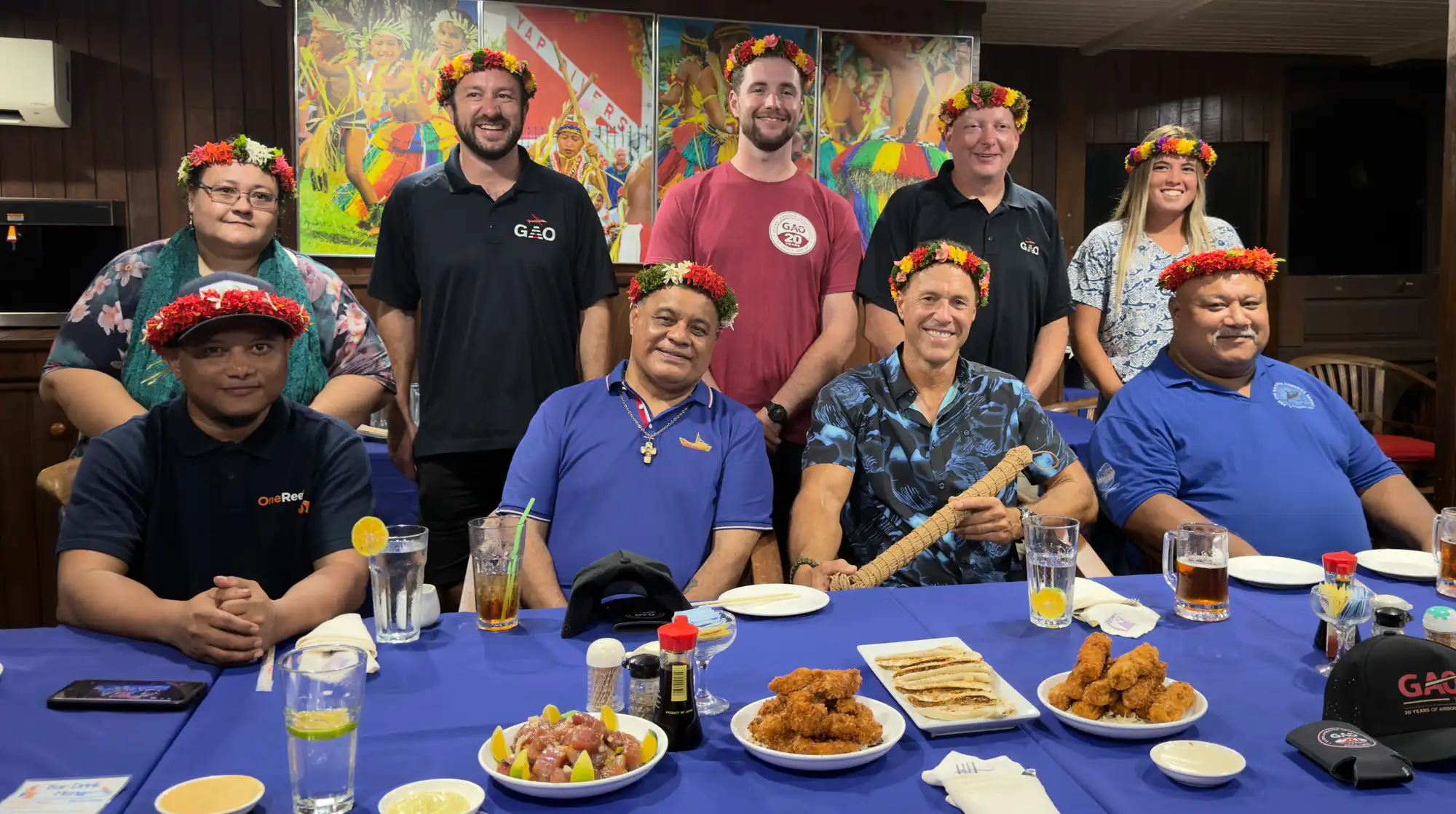
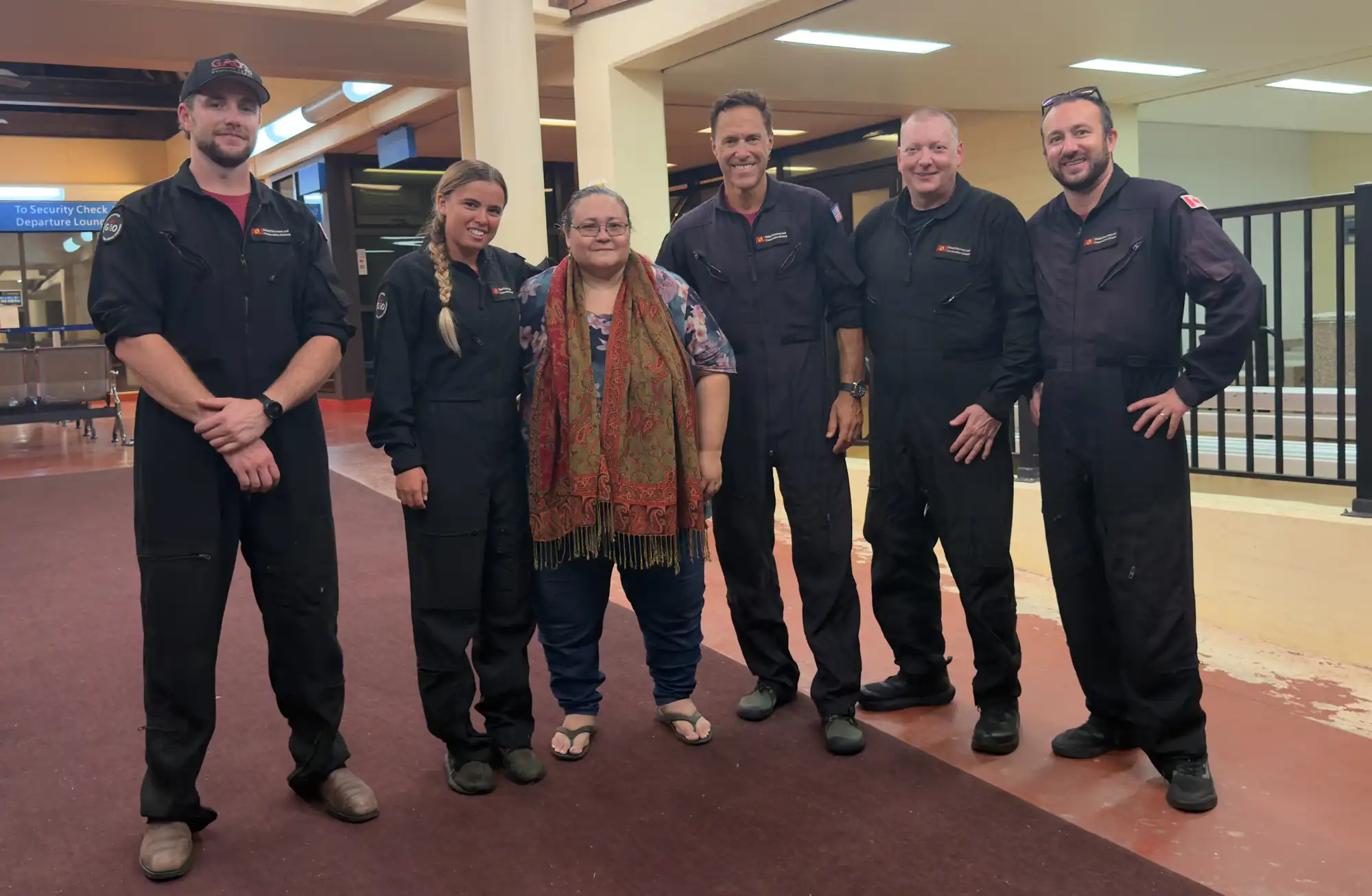
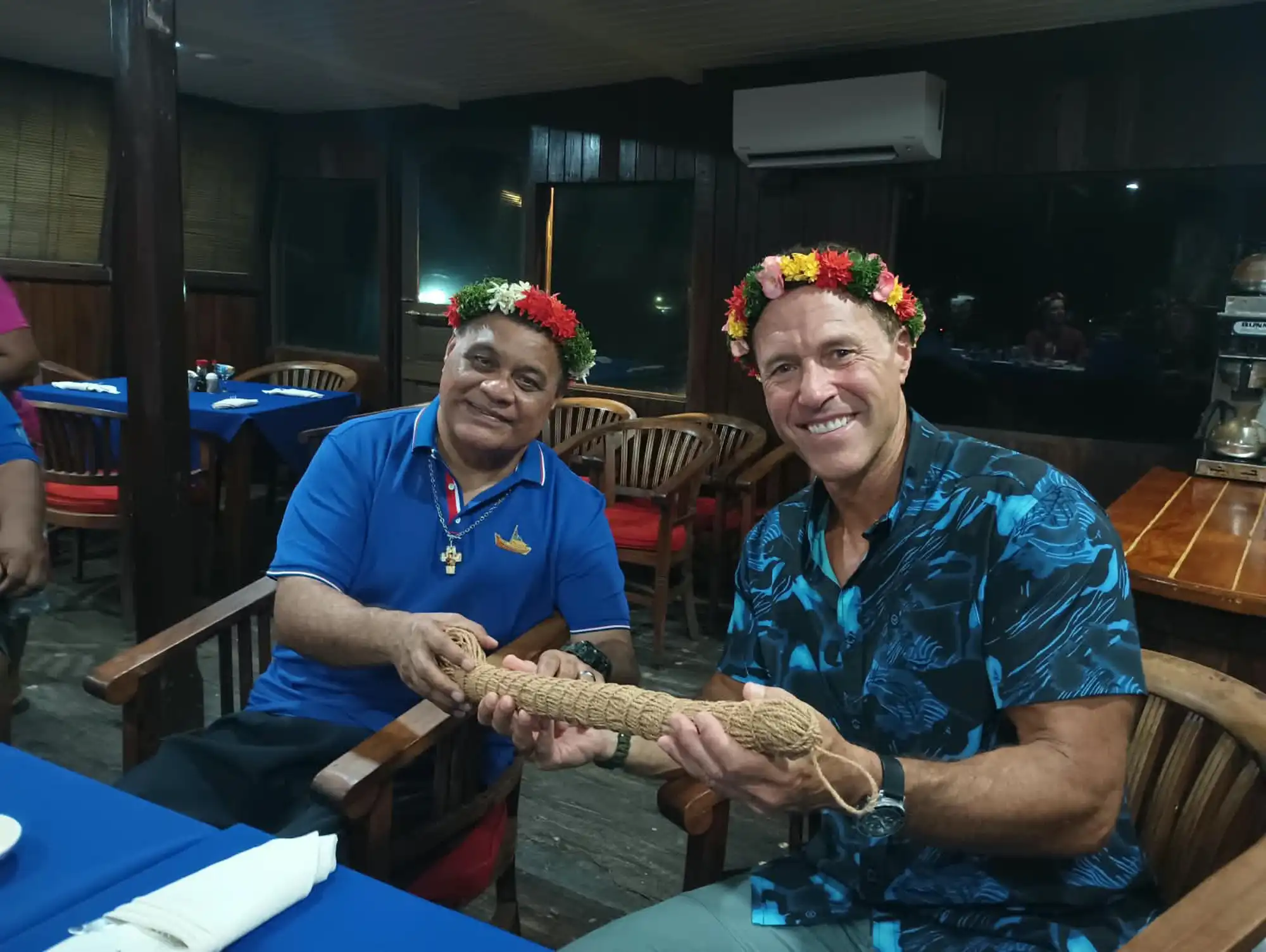
GAO was honored to be hosted by Vanessa Fread, Yap’s lead for OneReef, along with Governor Itimai, Director Gorong, and Chief Yalon.
A Rope That Tightens Under Tension
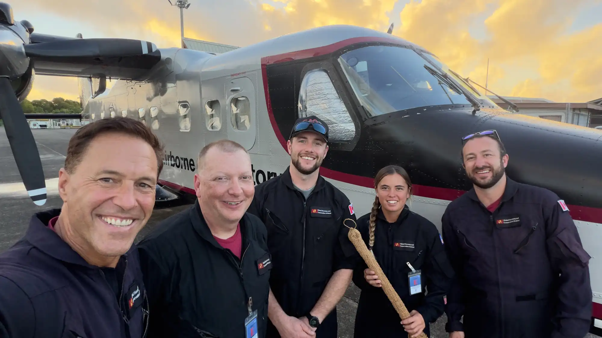
The Governor presented the team with a traditional sinnet. It takes a week to weave by hand and is strong enough to withstand typhoon-force winds. As the rope is tensioned, it tightens, signifying the commitment of the hosts and the GAO team to generate actionable maps of the state and the country. Yap’s gift flies onboard GAO until the mapping is finished in 2027, and beyond.
From Map to Planning
The new map of Yap Island, made in two days of flying, will go into immediate production for Yap’s current marine spatial planning effort. GAO will return in 2027 to map across the FSM.
Mission Gallery
Yap Island: Mapping Begins